


GAWR Segment 2 (Cutthroat)
Distance
649 Mi.
(1,044 KM)Days
10
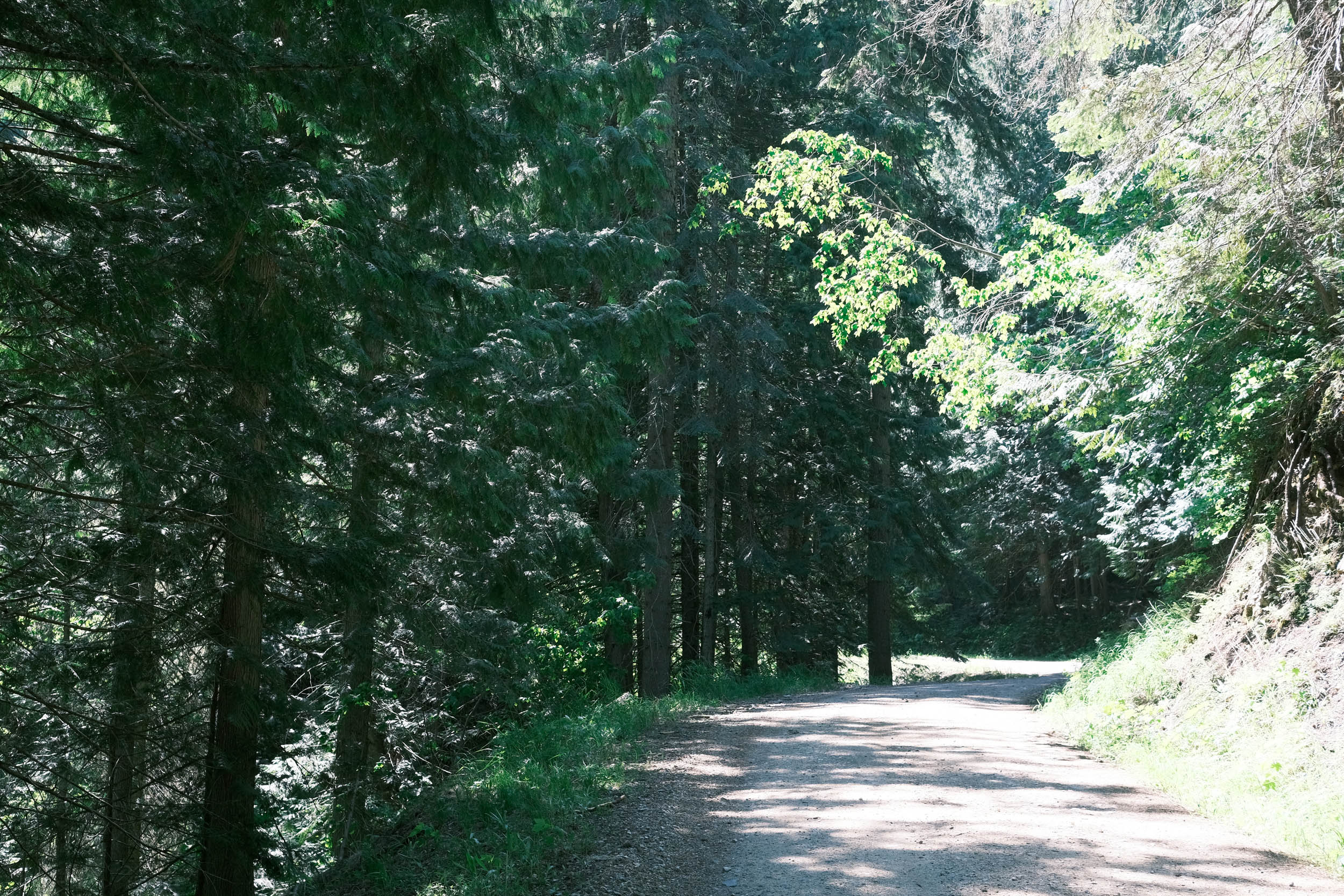
% Unpaved
50%
% Singletrack
1%
% Rideable (time)
100%
Total Ascent
26,155'
(7,972 M)High Point
7,227'
(2,203 M)Difficulty (1-10)
5?
- 3Climbing Scale Fair40 FT/MI (8 M/KM)
- 5Technical Difficulty Moderate
- 4Physical Demand Fair
- 3Resupply & Logistics Fair
Contributed By

Dana McKnight
Guest Contributor
Dana is retired and passionate about bikepacking and multi-day touring adventures. He spends much of his time developing and exploring routes in West Virginia, where he grew up, and Virginia, where he now lives. In 2024 and 2025, Dana completed the Great American Wheel Route, one of his bucket-list goals, over the course of two years. You can find more recaps of Dana’s adventures at Gravel Ride Recaps on Ohio Gravel Grinders.
B/W photos by Cody Johnson; Color photos by Cody Johnson, Dana McKnight, Mike Miller, Luke Kocher, Jen Kelly, Mike Miller, Evan Deutsch, and Evan Finton
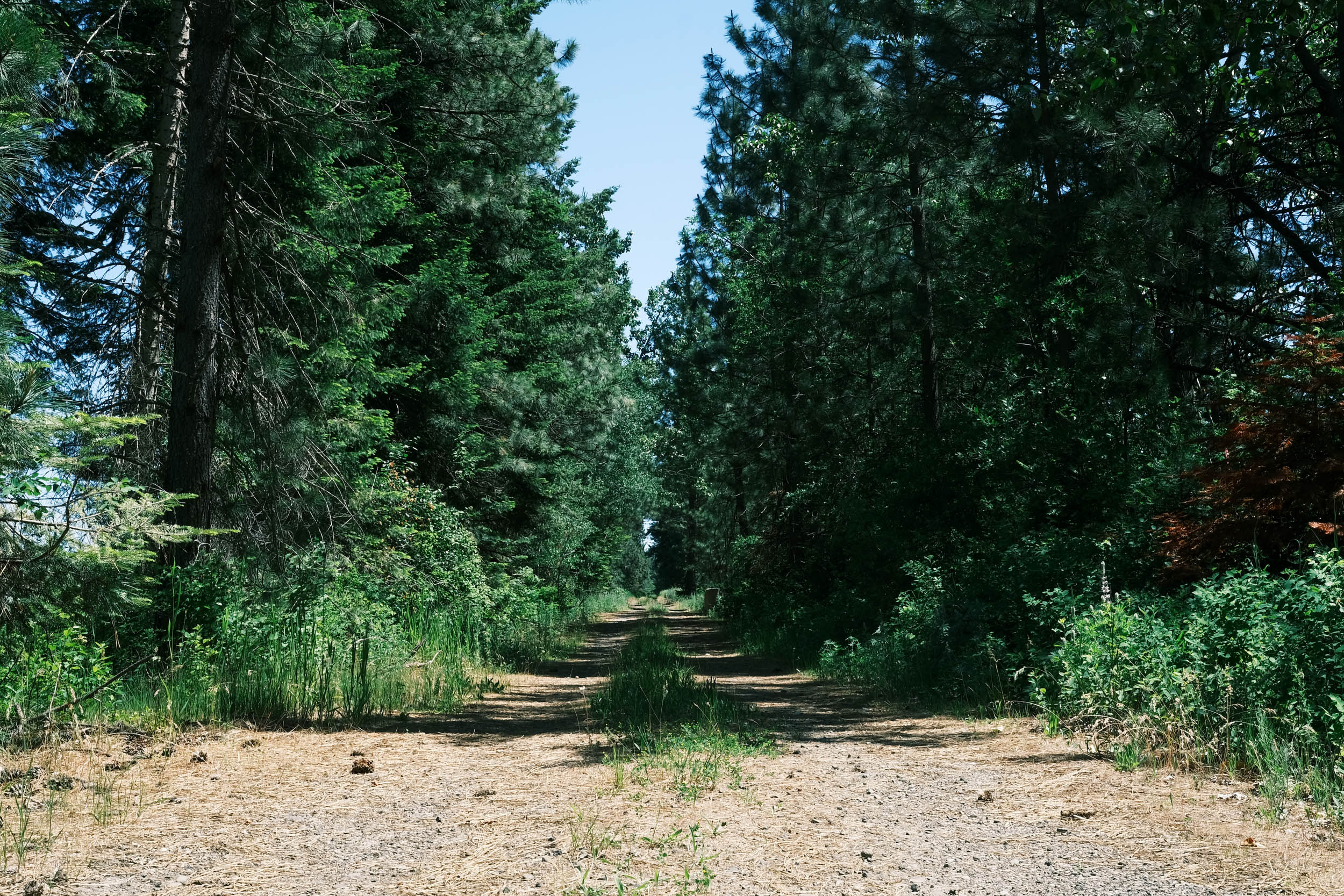
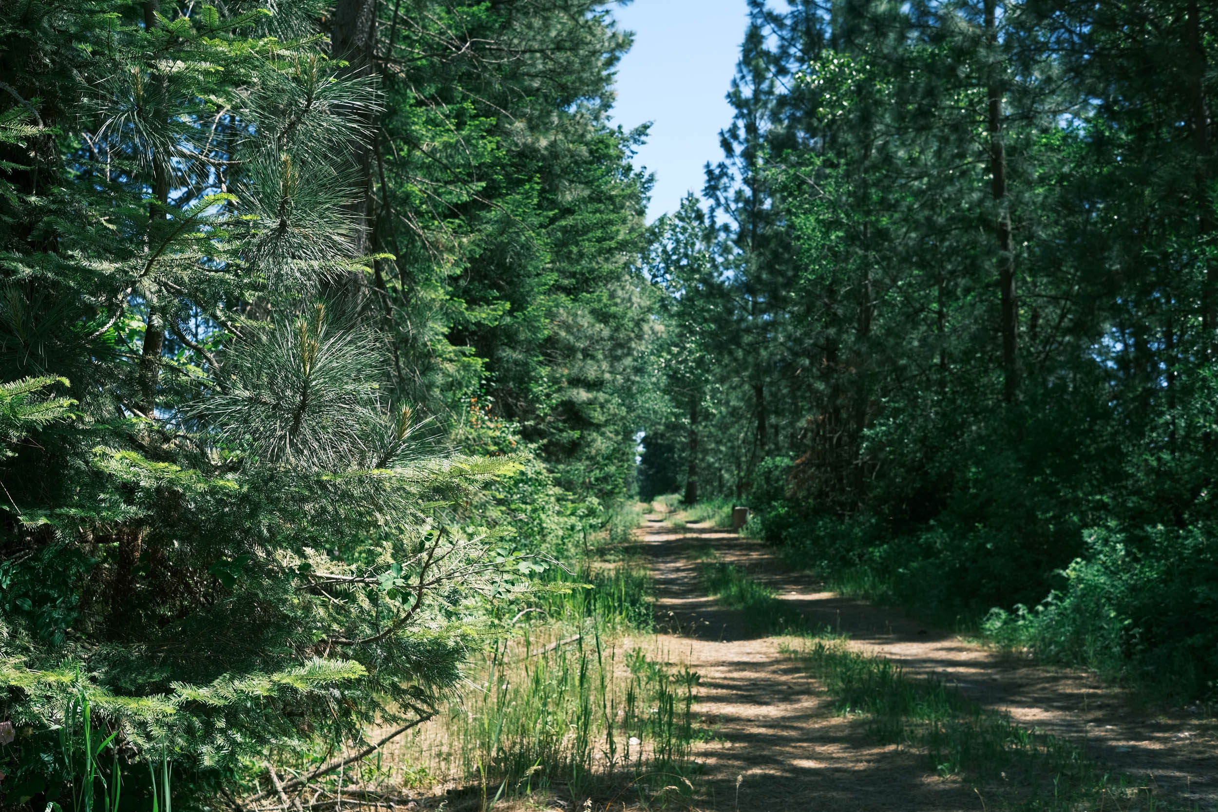
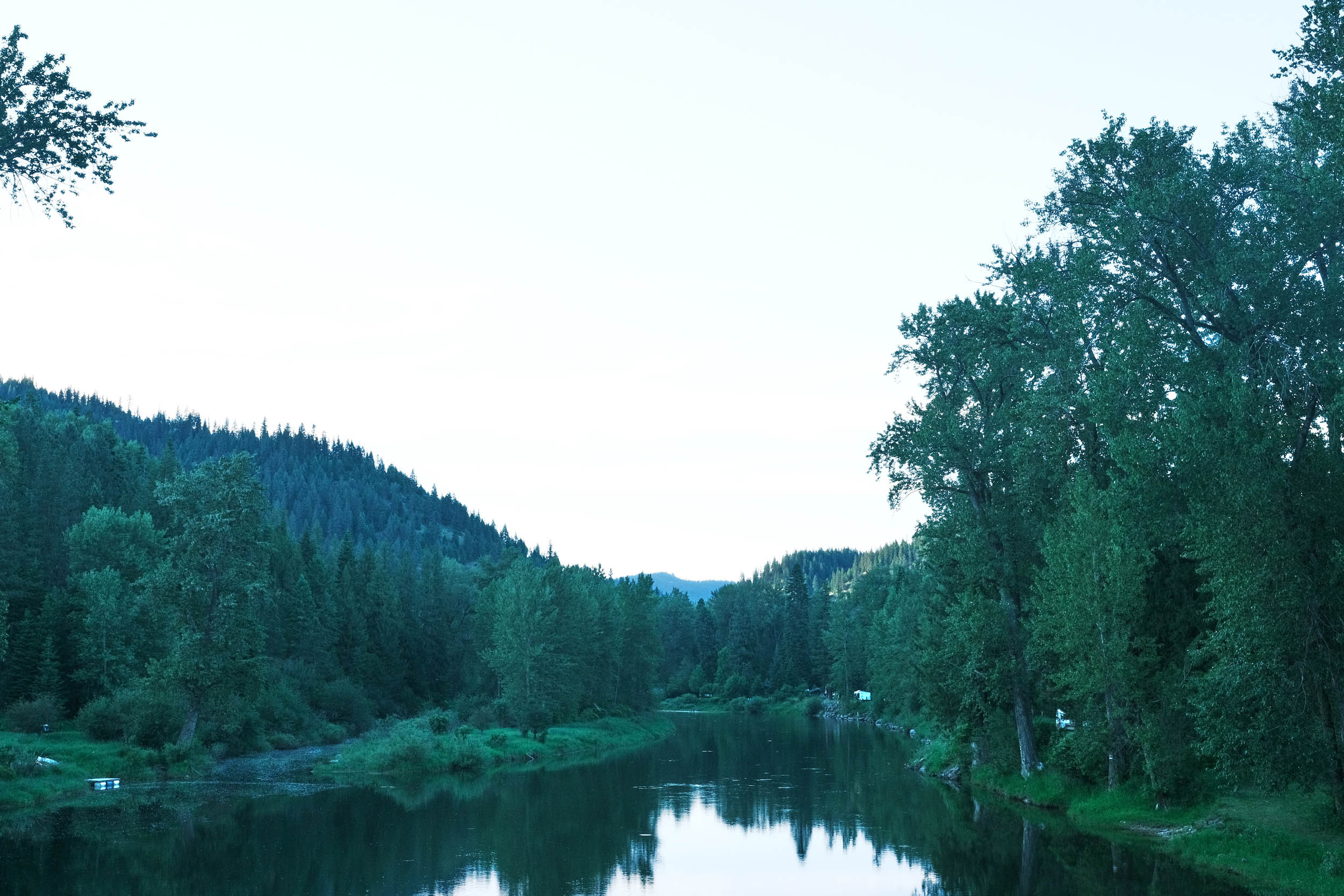
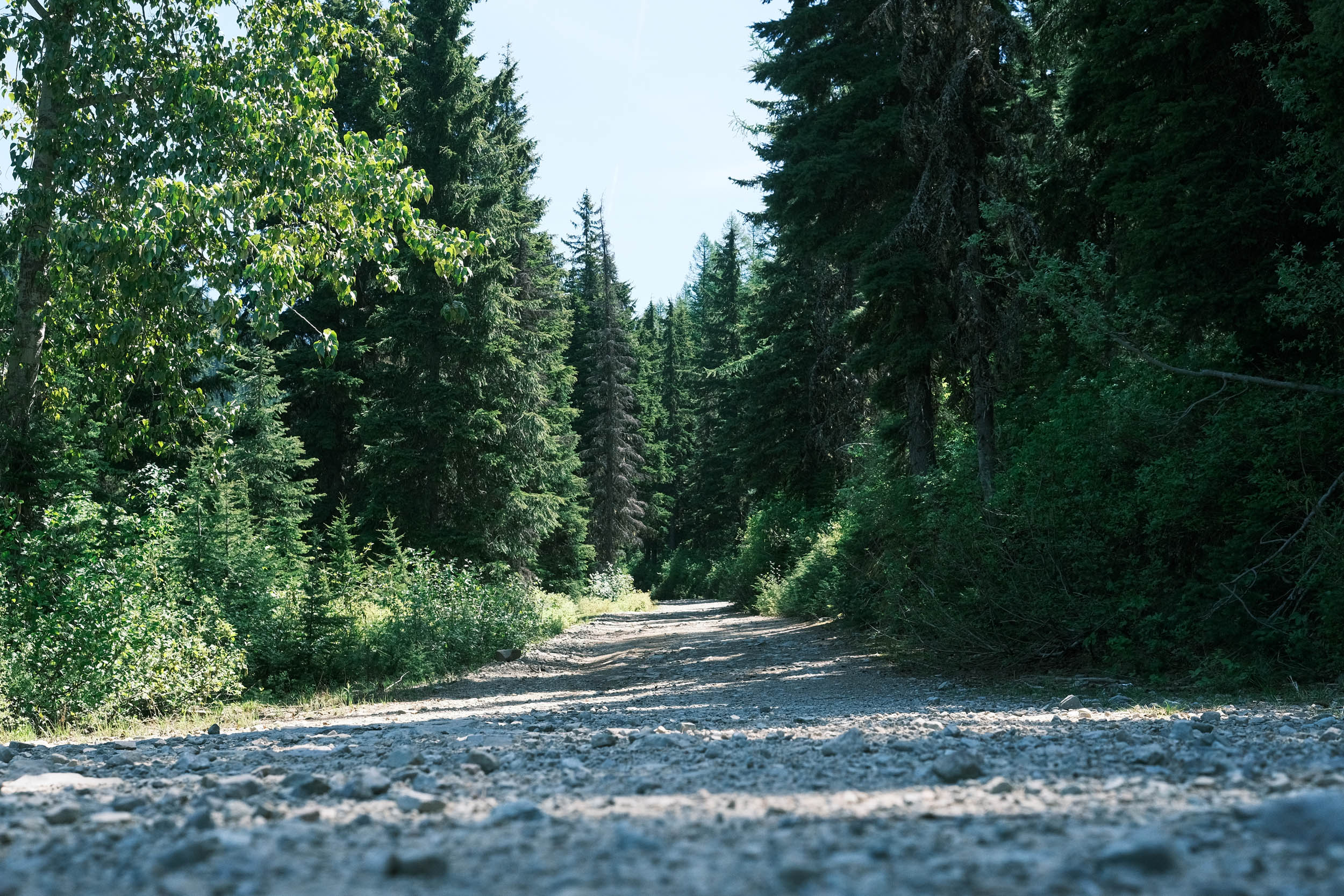
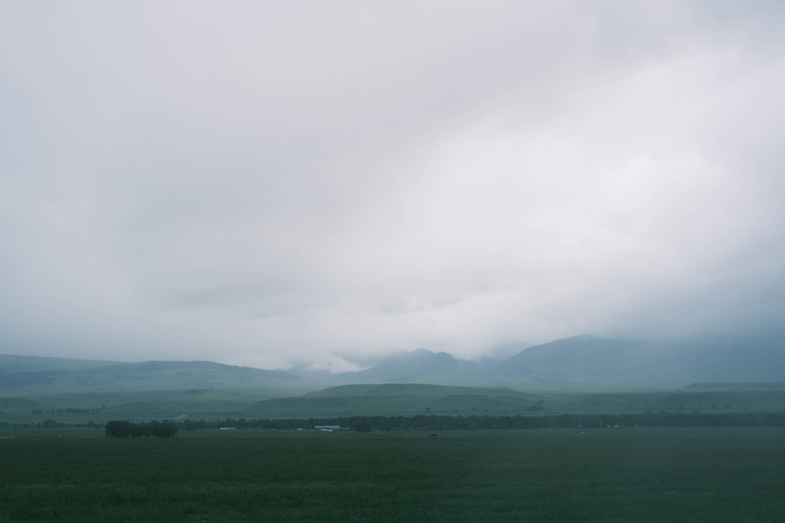
Segment 2 of the Great American Wheel Route is named after the Cutthroat trout that are native to western North America and are found throughout the Rocky Mountains, including Montana and Idaho. This segment presents one of the route’s biggest challenges as it traverses the Rocky Mountains.
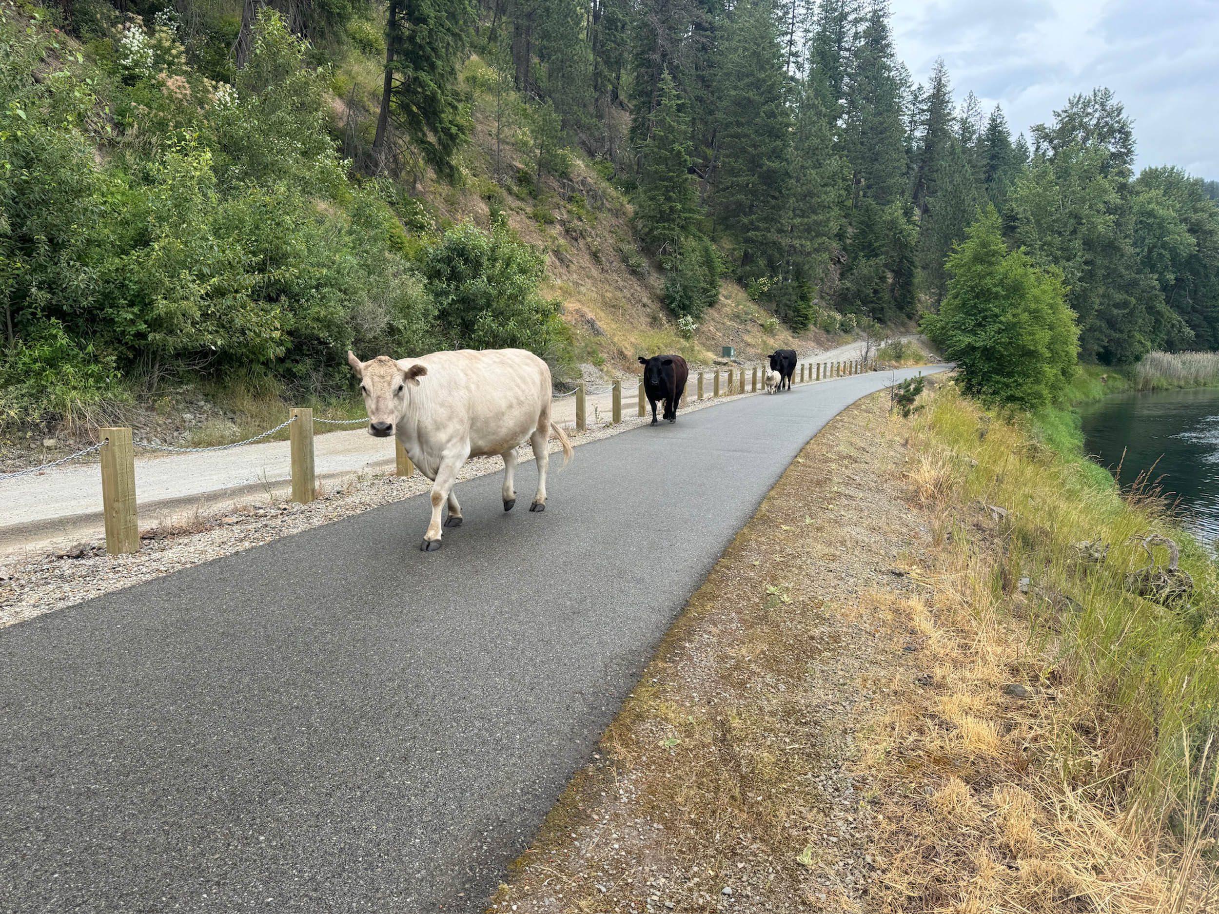
However, it starts with the beautiful, mostly flat, and wildlife-rich Coeur d’Alene Trail, which is paved across the Idaho panhandle. The trail is named after the Coeur d’Alene Tribe, whose reservation surrounds the western end of the trail. The modern Coeur d’Alene Tribe is the sum of countless generations over countless centuries. In the tribe’s own ancient language, it is called Schitsu’umsh, meaning “Those who were found here” or “The discovered people.” There is a series of beautiful and touching tribal memorials at the trailhead in Plummer, Idaho, well worth a moment of reflection.

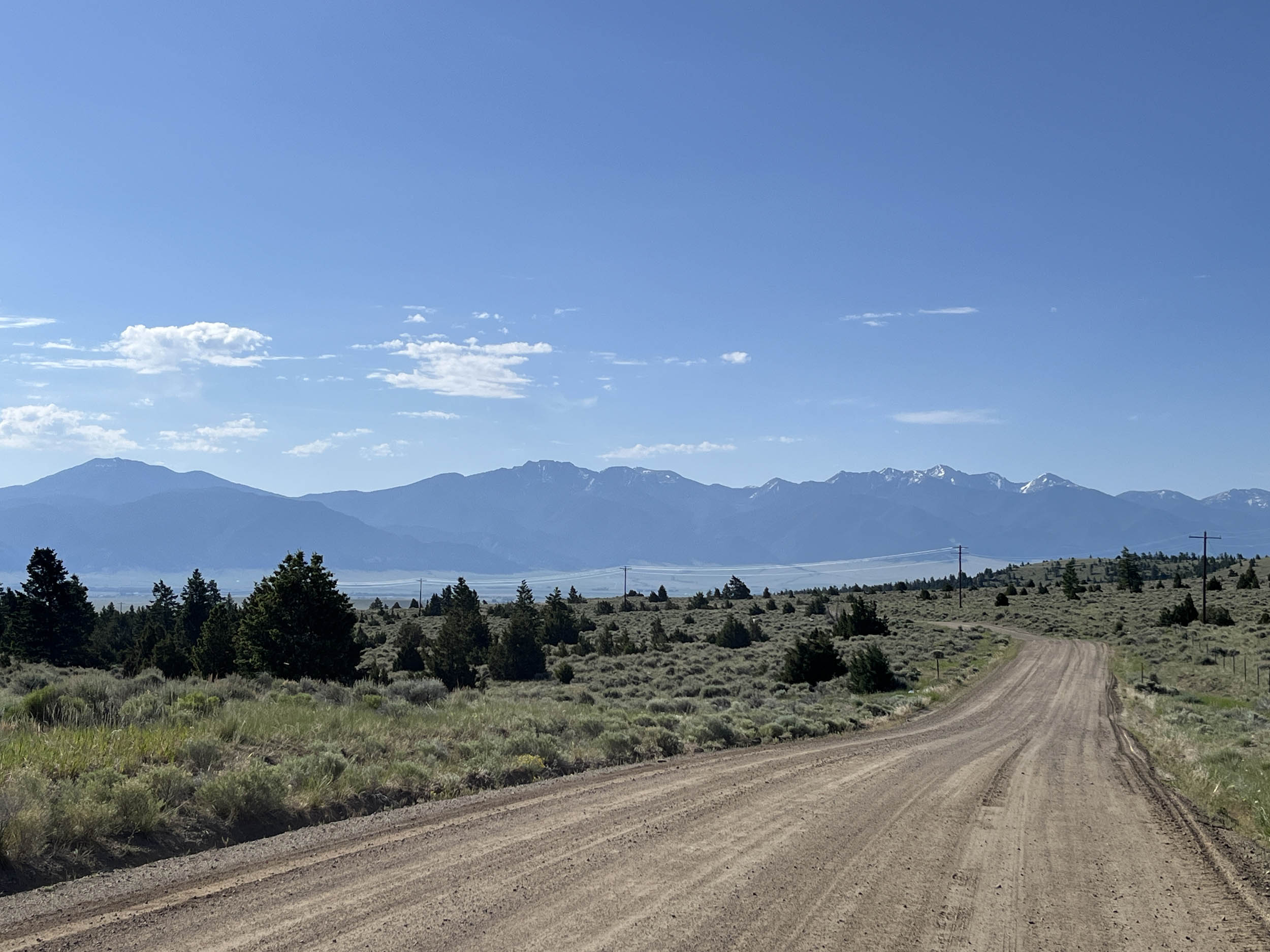
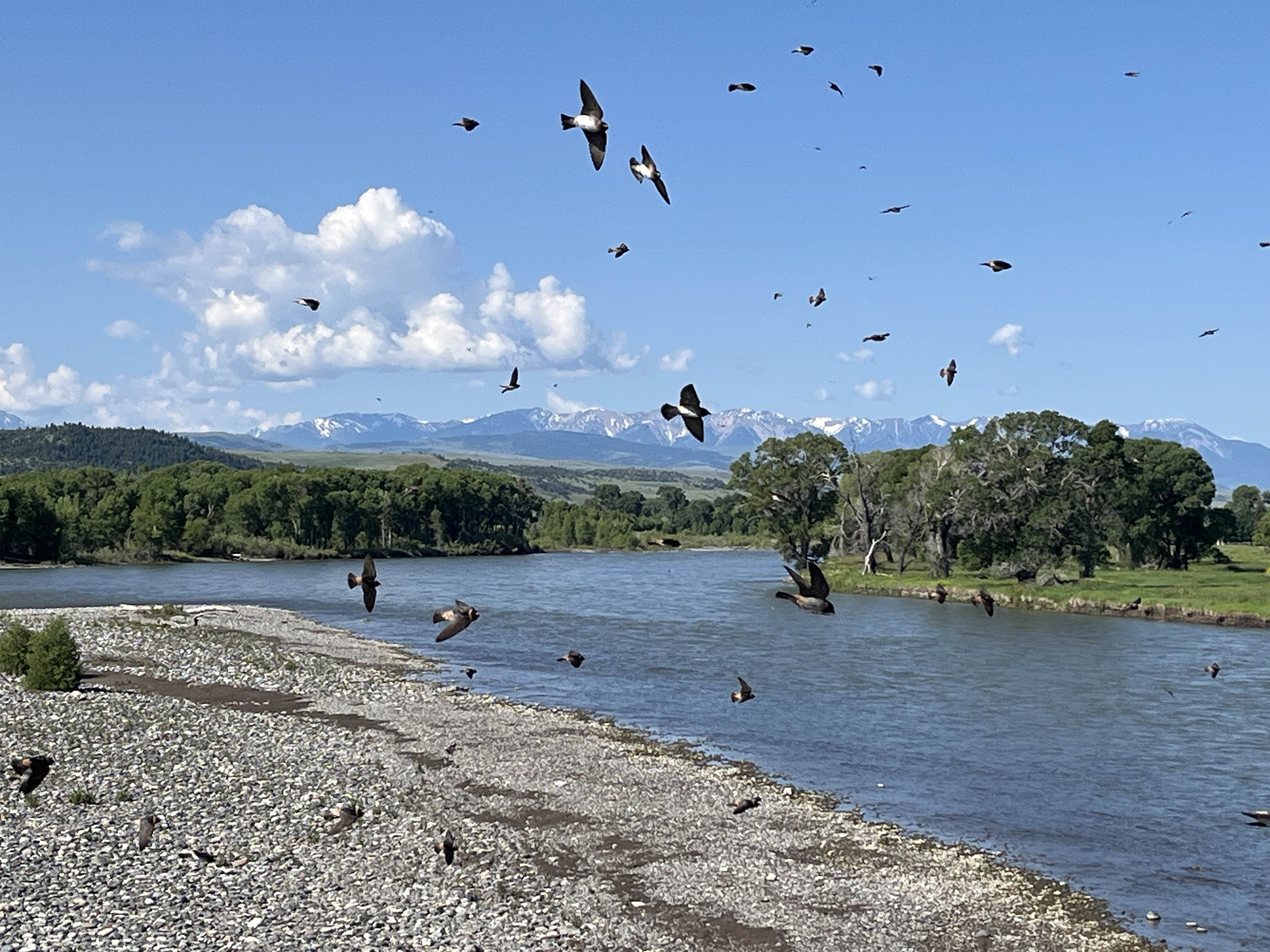
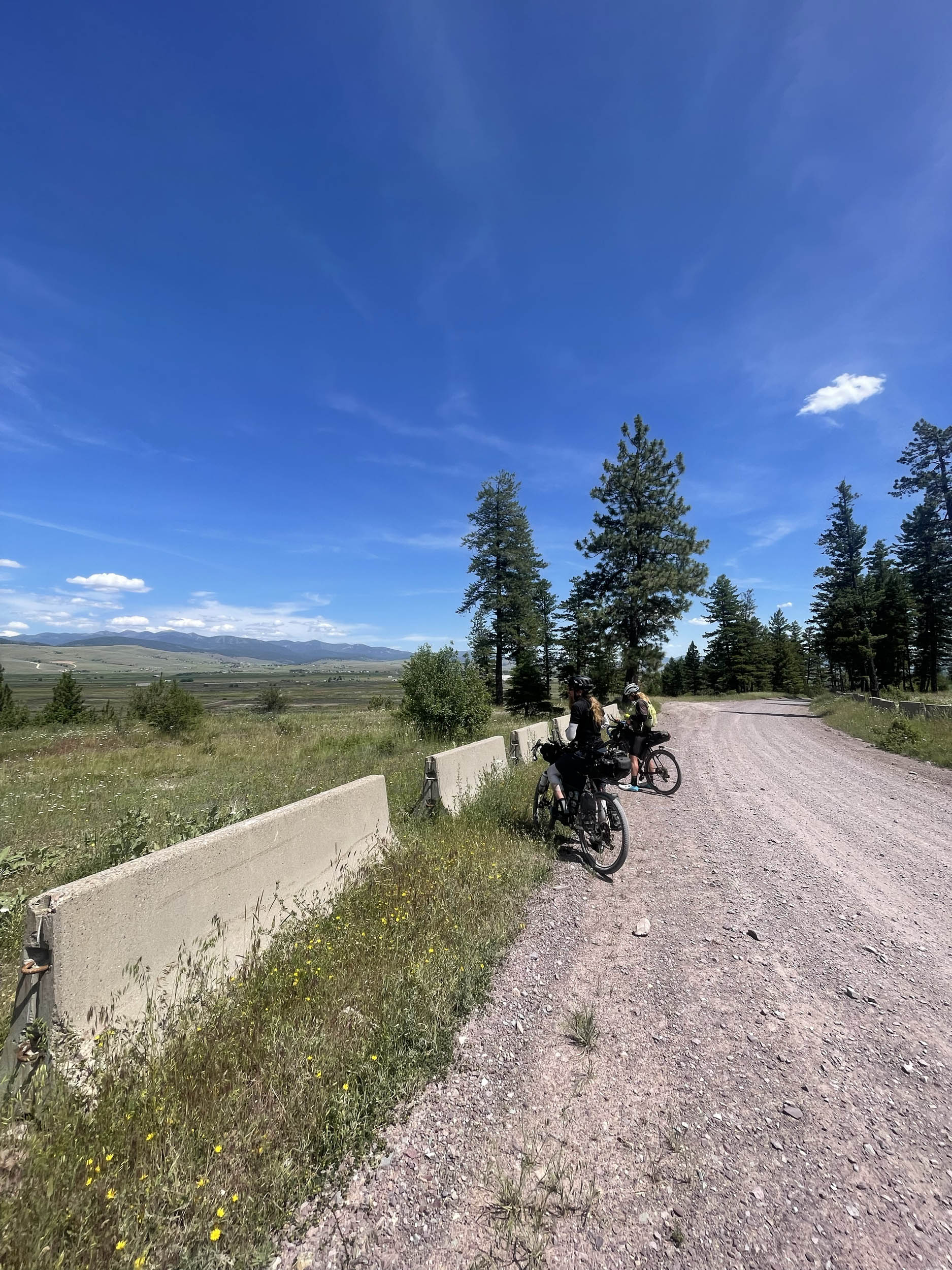
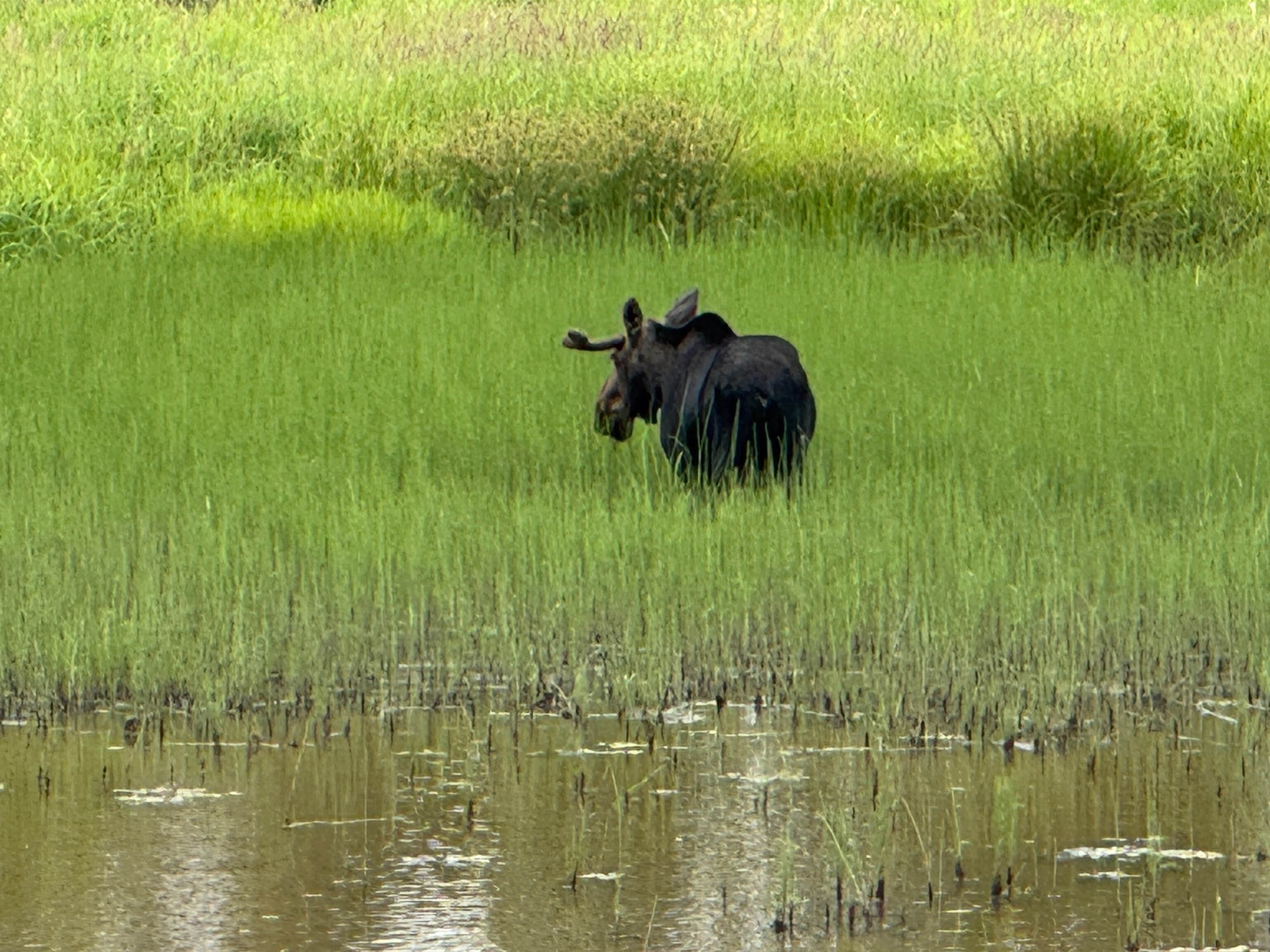
Lucky riders may have the chance to see North America’s largest ungulate on the Coeur d’Alene Trail. The moose is an enormous animal that requires riders to keep a safe distance, as they can be dangerous. The route passes through multiple charming mining towns, surrounded by both abandoned and active mining operations. At the top of Lookout Pass, the route enters the huge state of Montana, where riders will spend the most time and cover the most distance of any state.
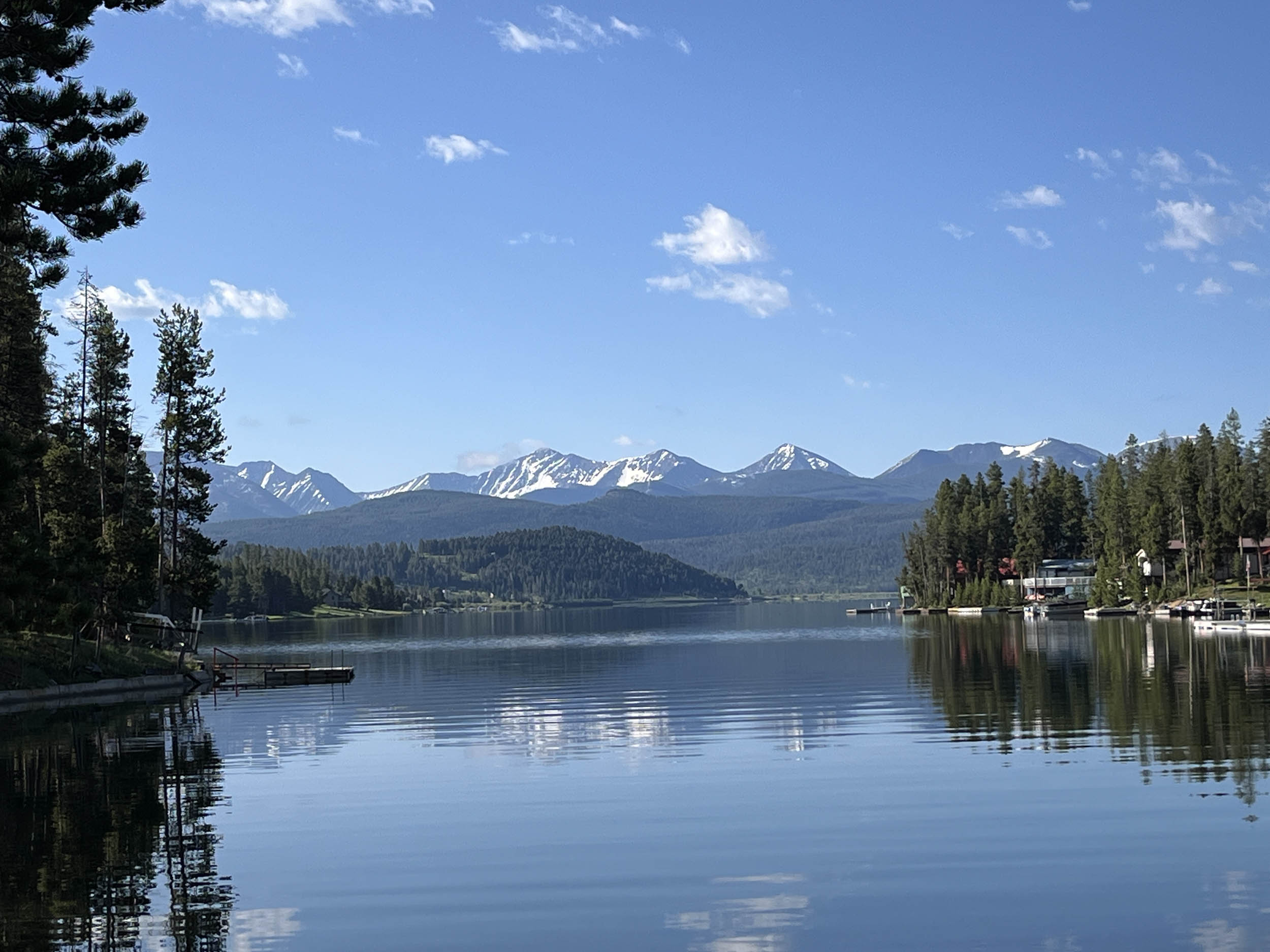
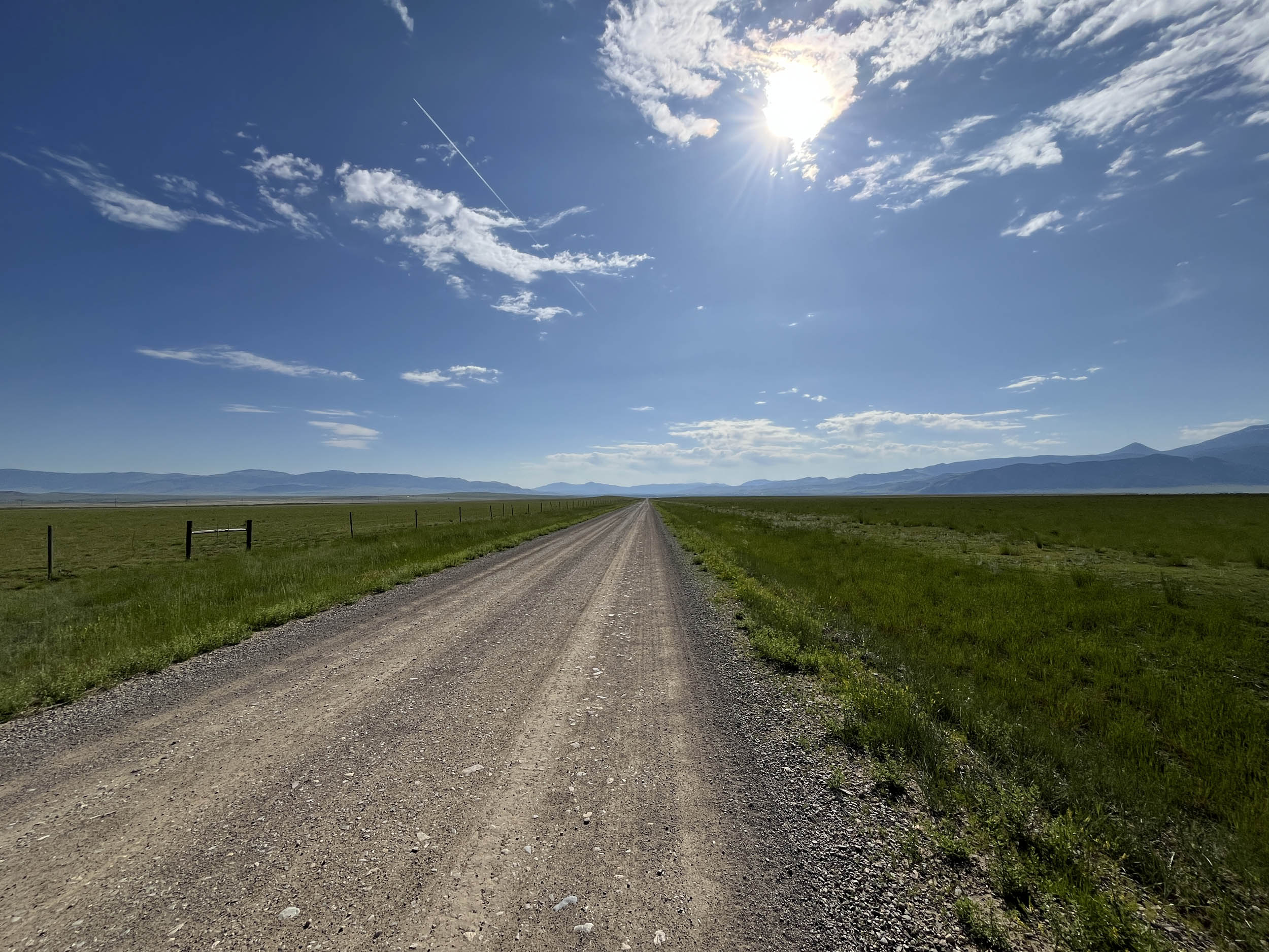
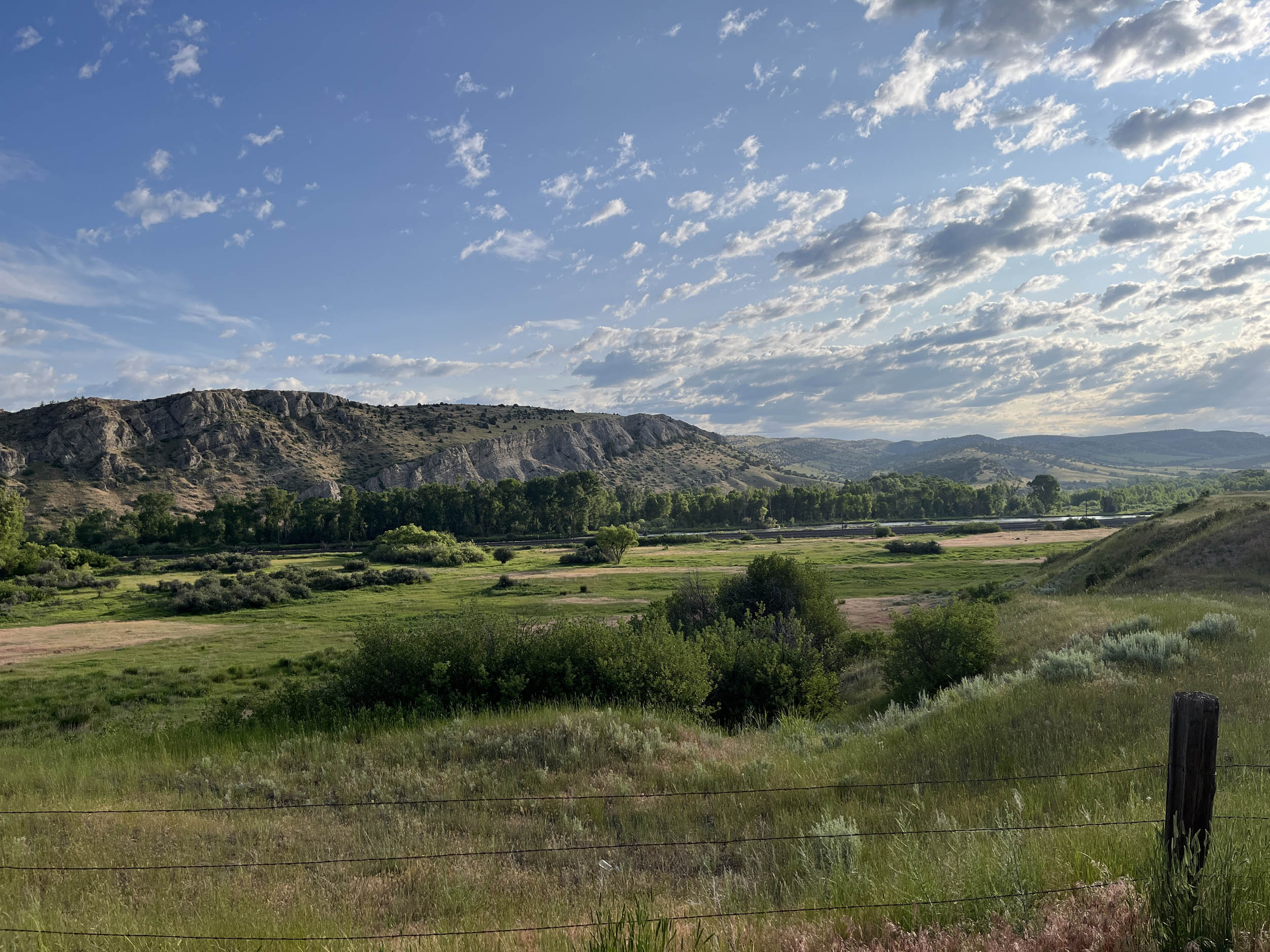
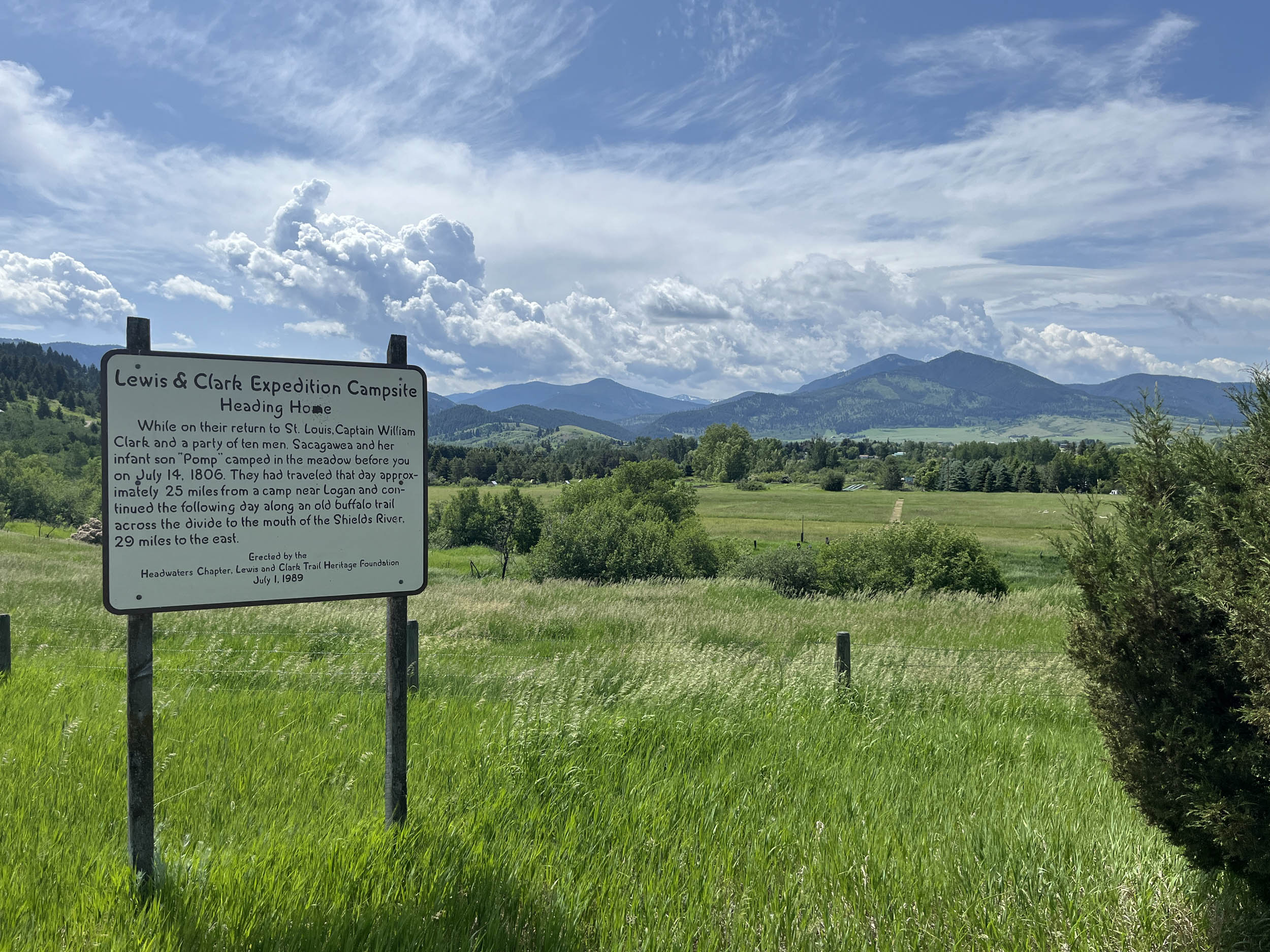
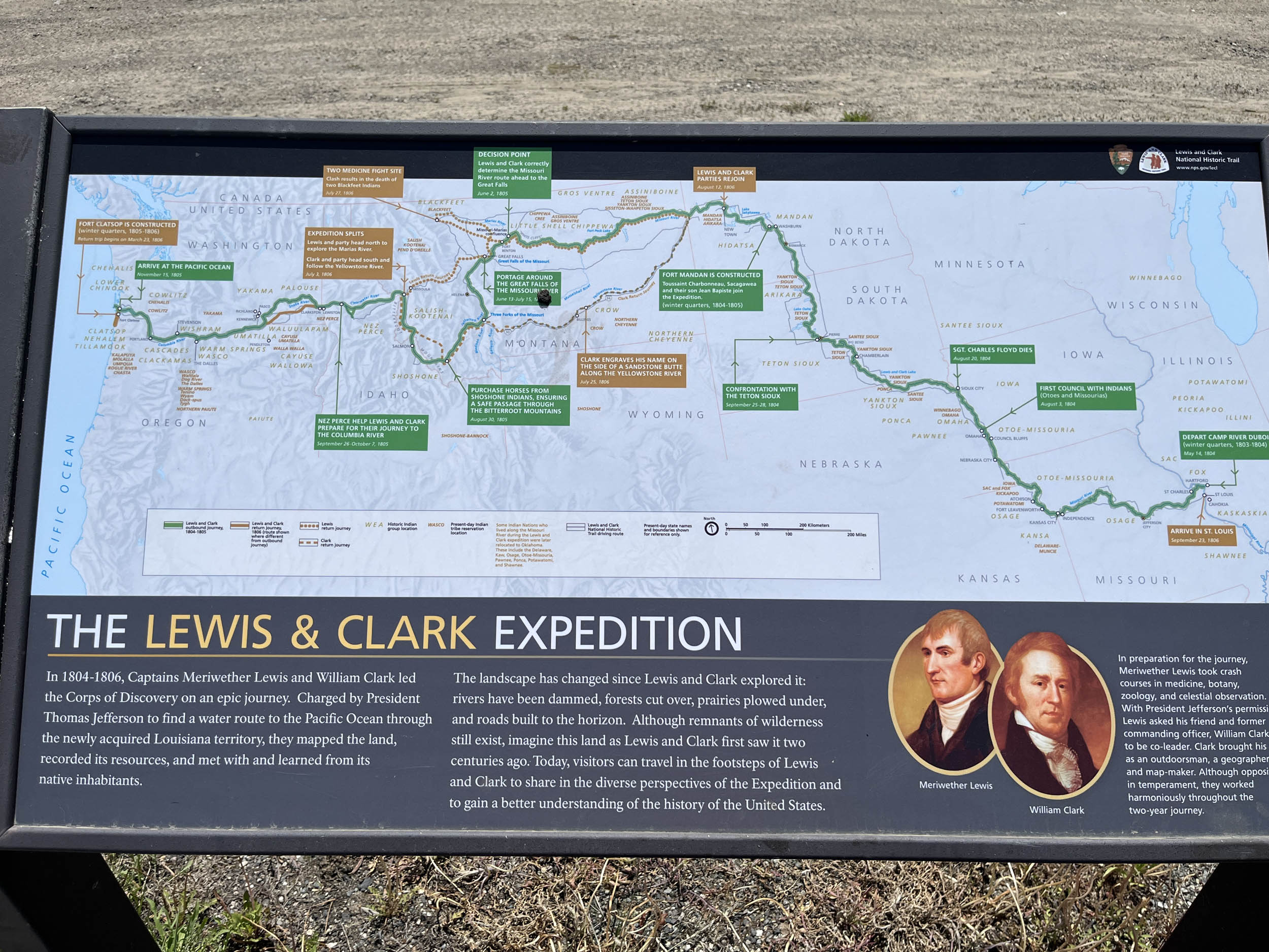
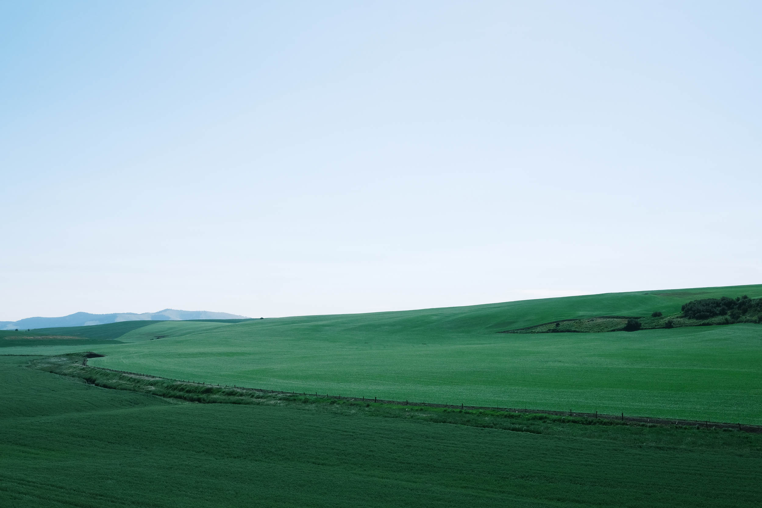
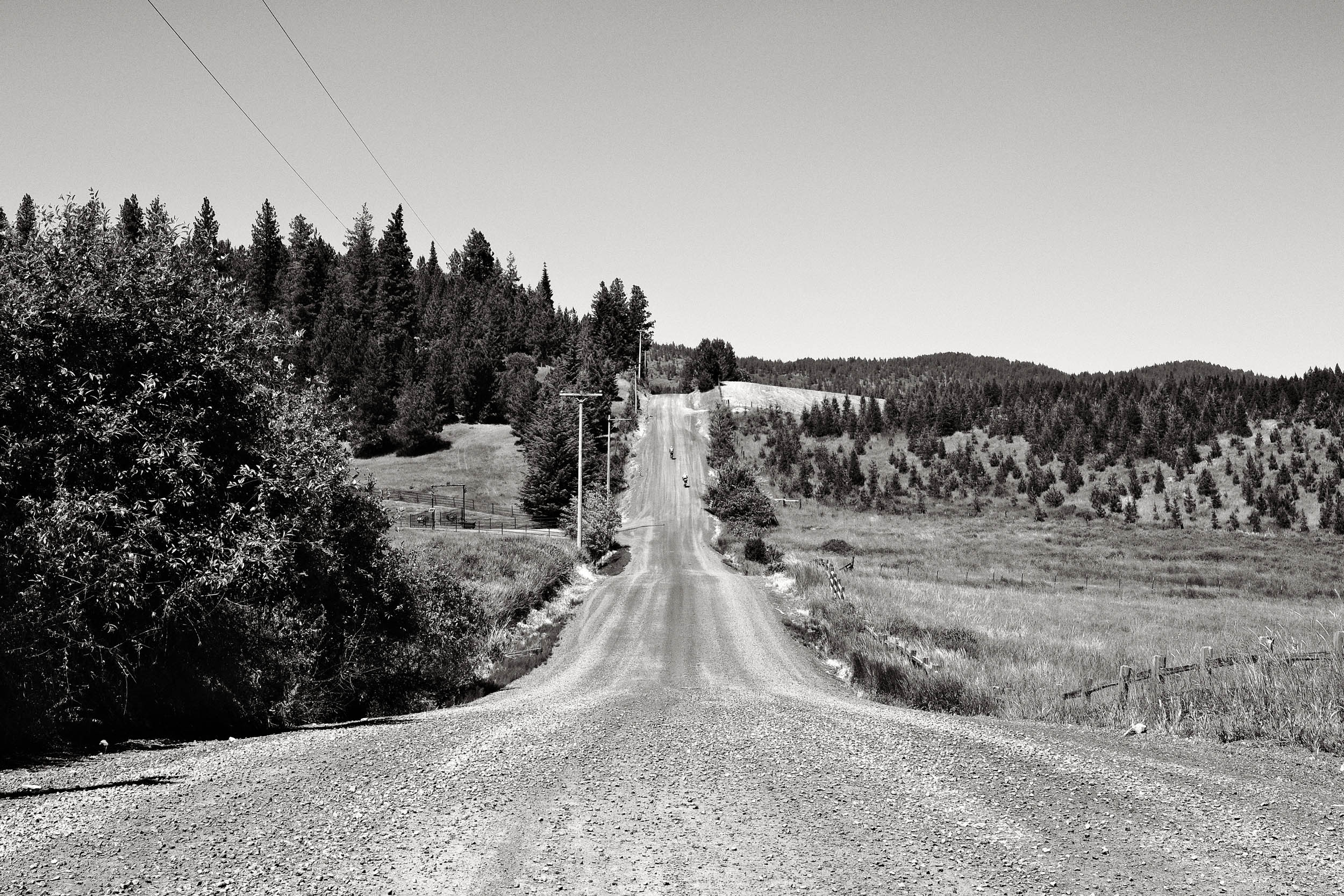
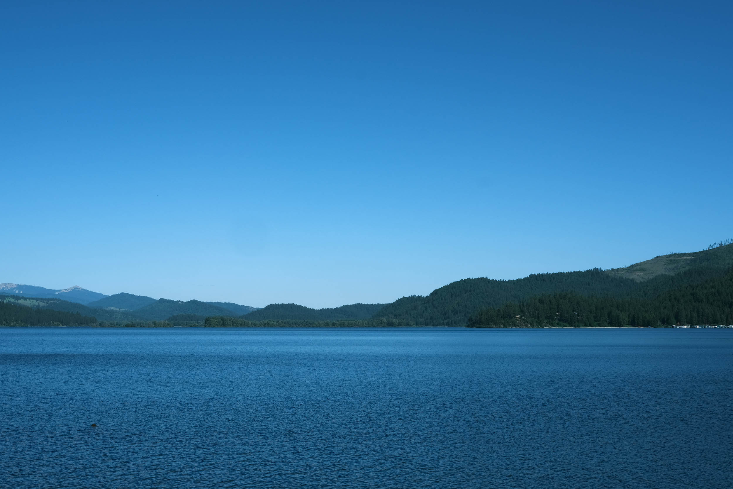
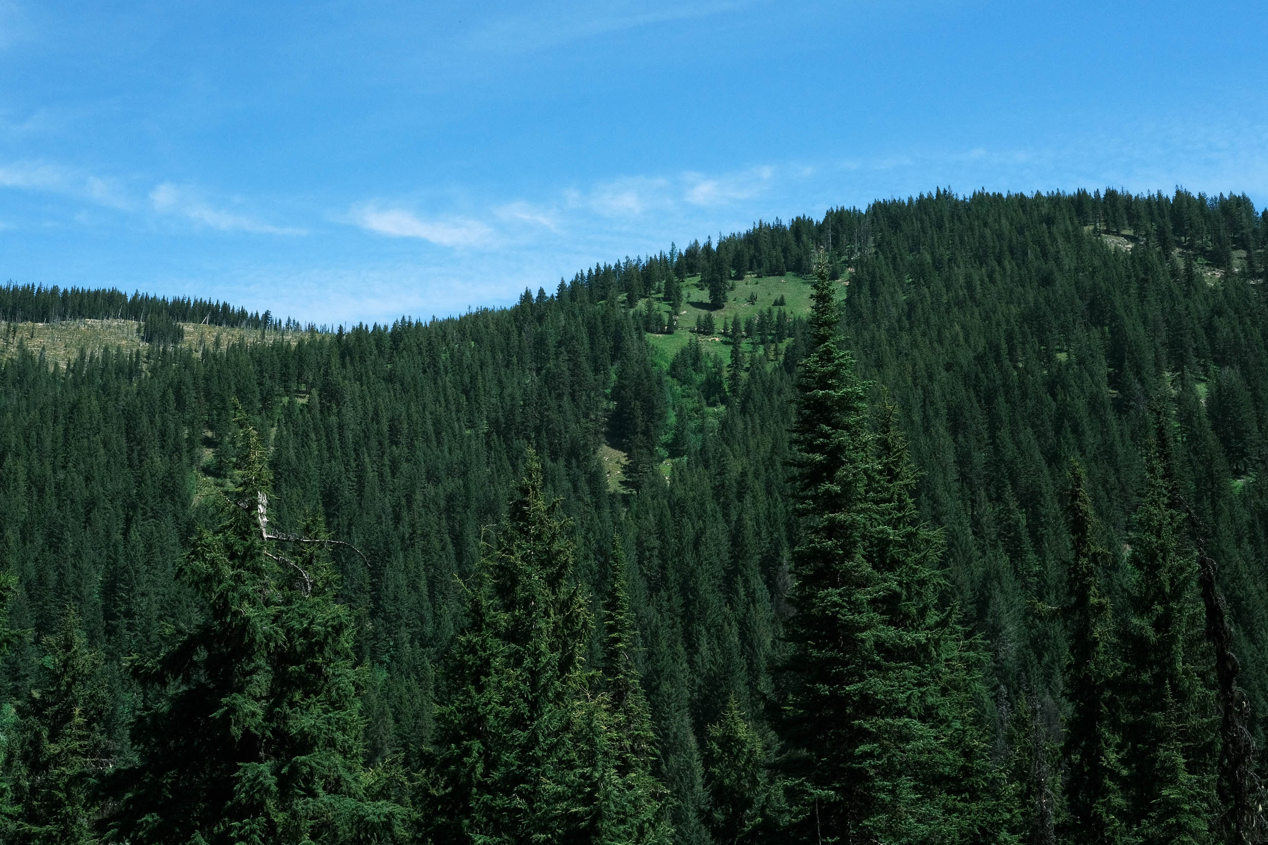
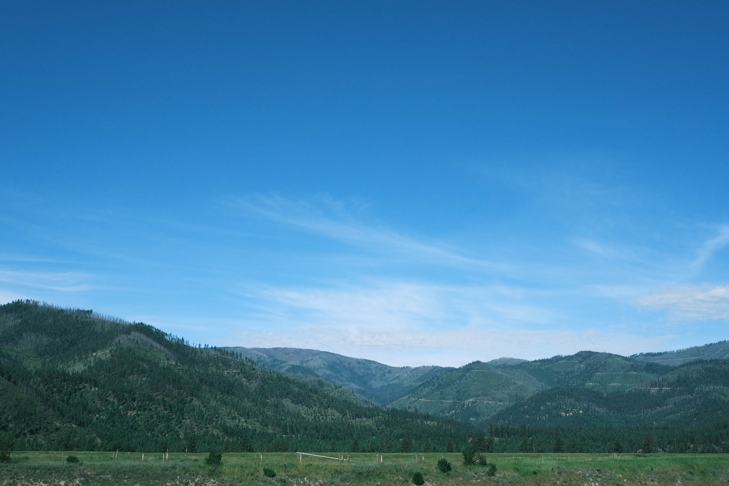
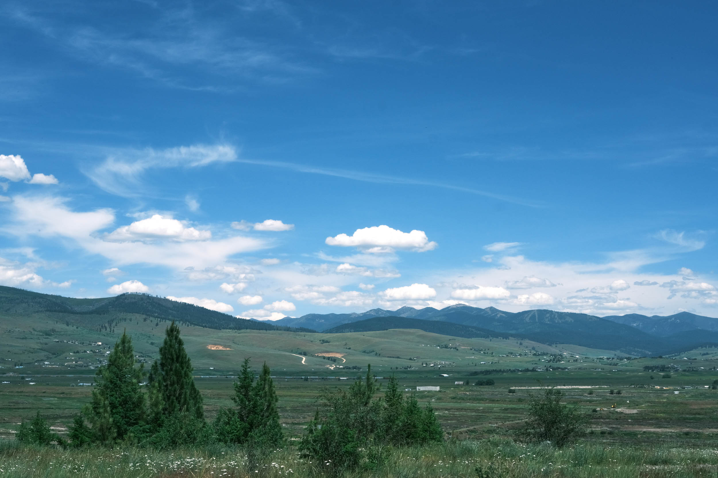
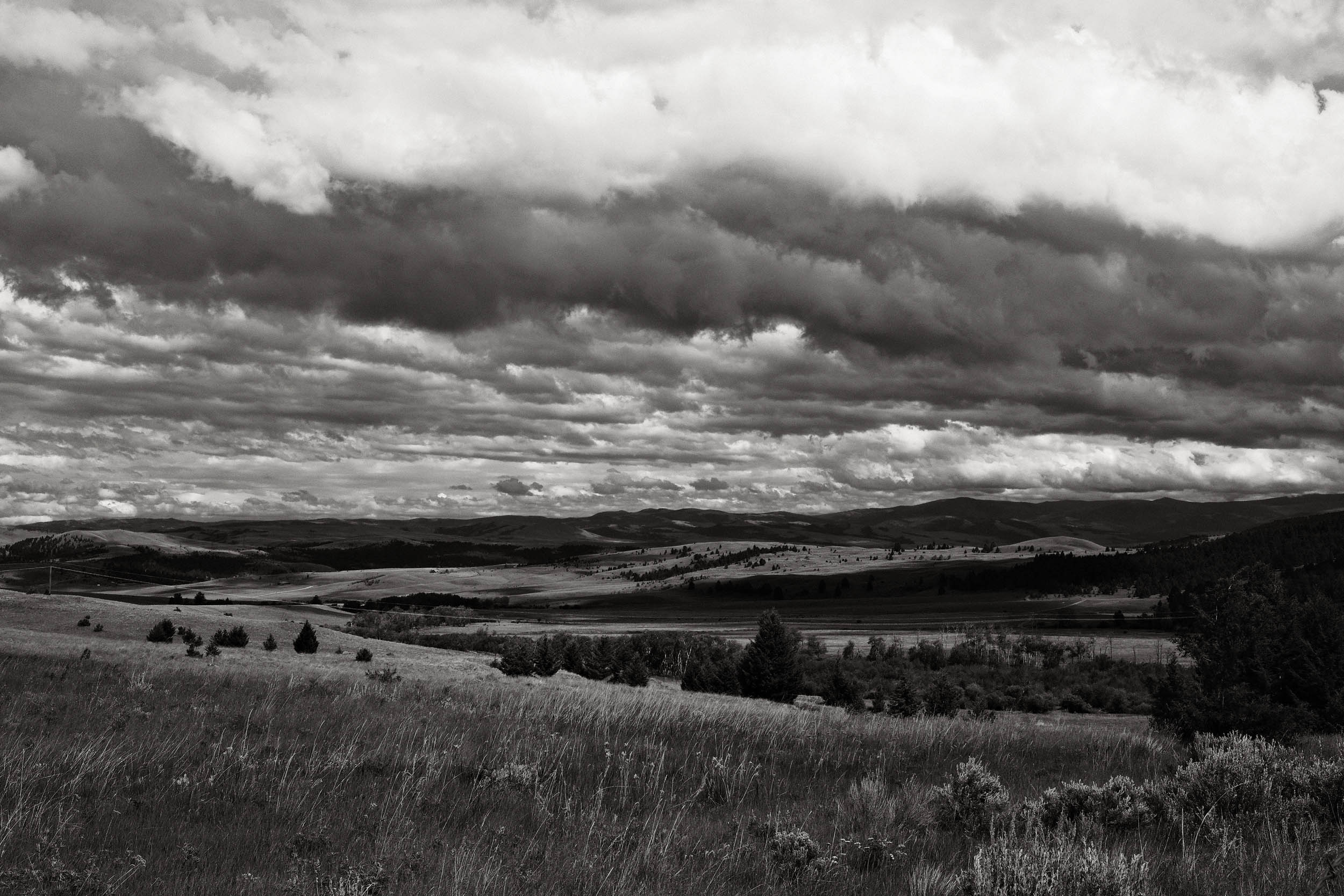
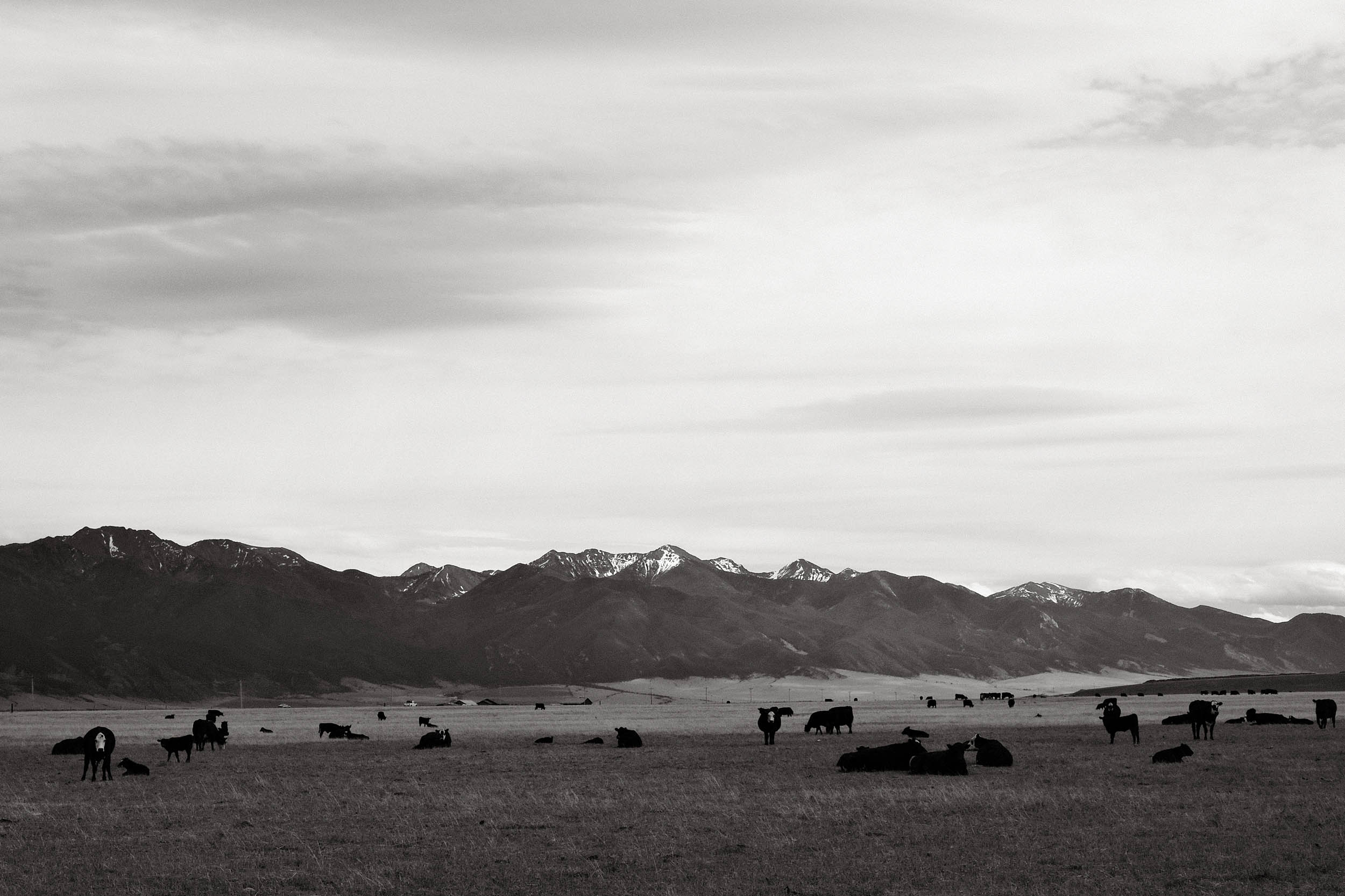
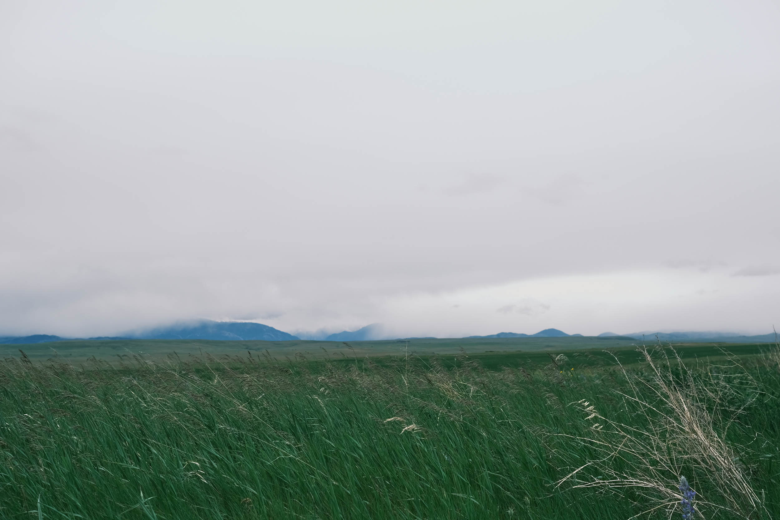
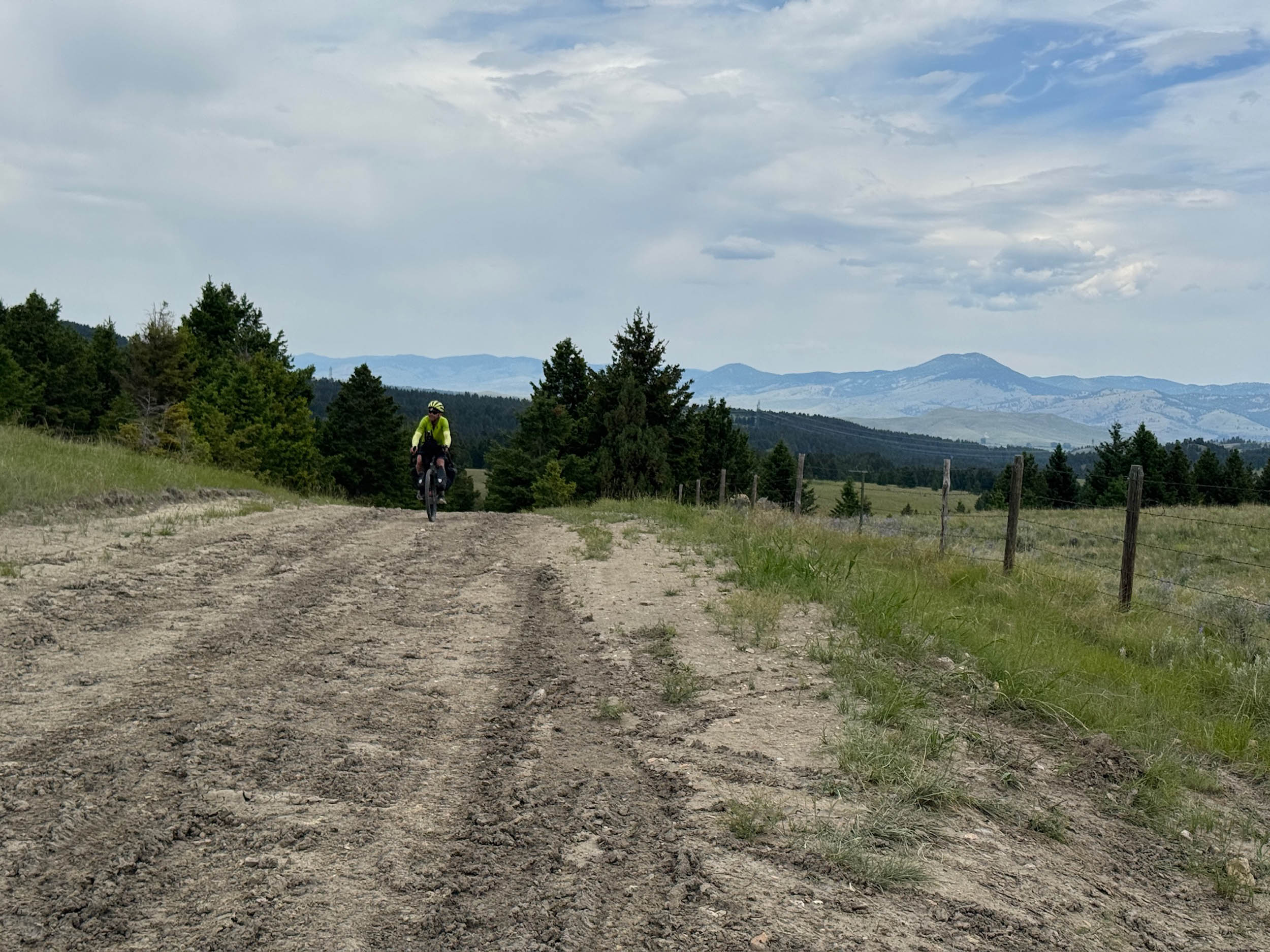
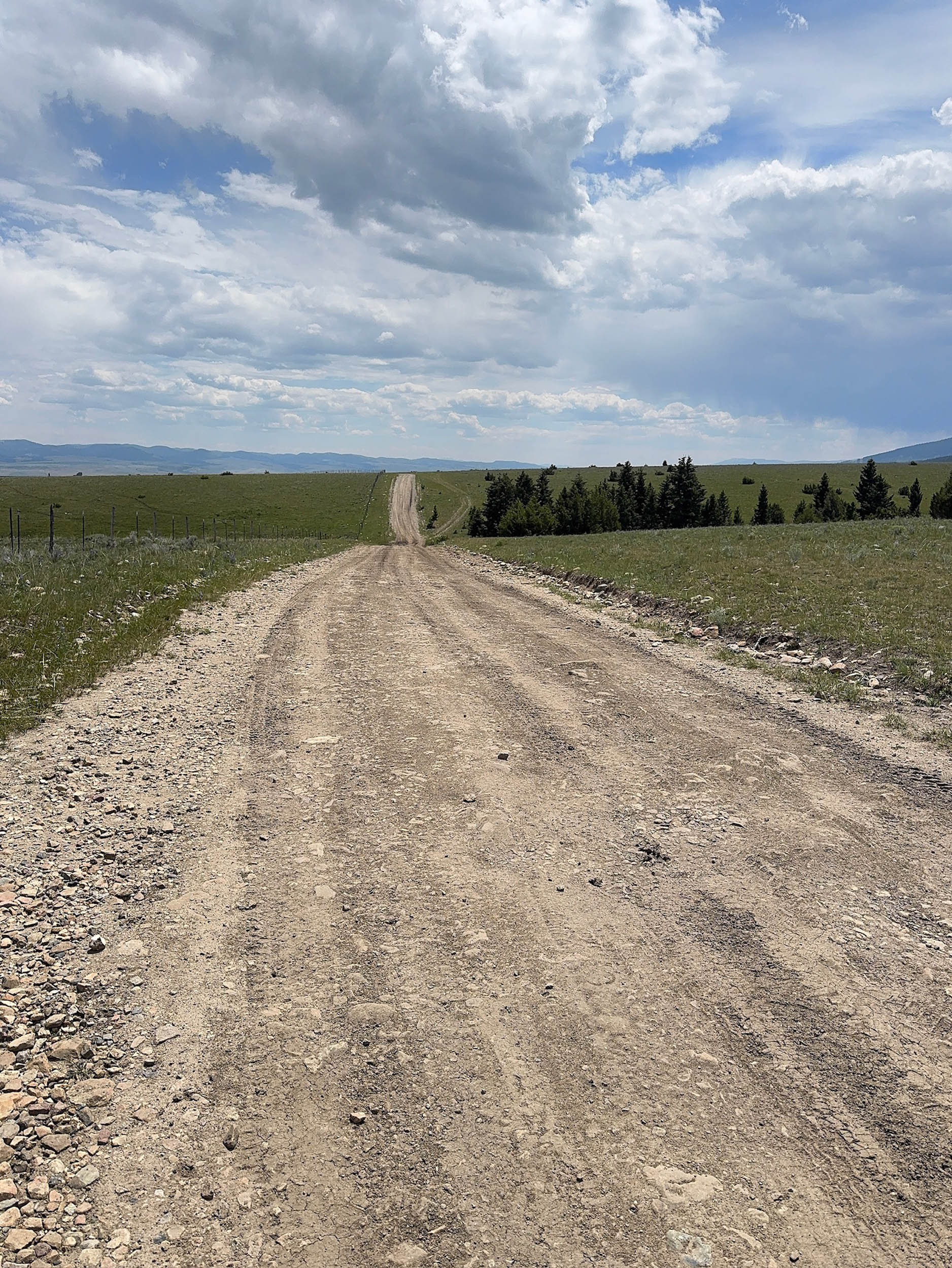
Montana earns its nickname “Big Sky Country” for its abundance of wide-open spaces, majestic mountains, and skies that stretch uninterrupted to the horizon. The scenery is epic and endless, constantly providing a daily overdose of visual stimulation. Montana offers a great mix of easy rides and challenging climbs as riders make their way across and around the many ranges of the Rocky Mountains, including the Bitterroots, Sapphires, Anaconda, Tobacco Root, Bridgers, Absaroka, Crazy, and Beartooth. If you are lucky, you’ll meet some real cowboys during one of their classic cattle drives. Additionally, this segment of the route routinely follows and intersects the Lewis and Clark route as it traverses the Rocky Mountains. There are many documented references to Lewis and Clark as you ride through this segment.
Make sure to stop at a local establishment and enjoy the many ways Huckleberries are used to make delicious food items. The variety is endless, with Huckleberry Ice Cream, milkshakes, pies, and licorice among the more popular items.
After completing the entire route, many riders consider this segment the most beautiful and inspiring of all the Great American Wheel Route segments.
Route Difficulty
We are assigning an overall difficulty of 5 to this segment of the route, as there are multiple big climbs over mountain passes, remoteness of the route, distances between resupply, and some rough surfaces, including sticky peanut butter mud that can clog drivetrains and wheels when dirt surfaces are wet.
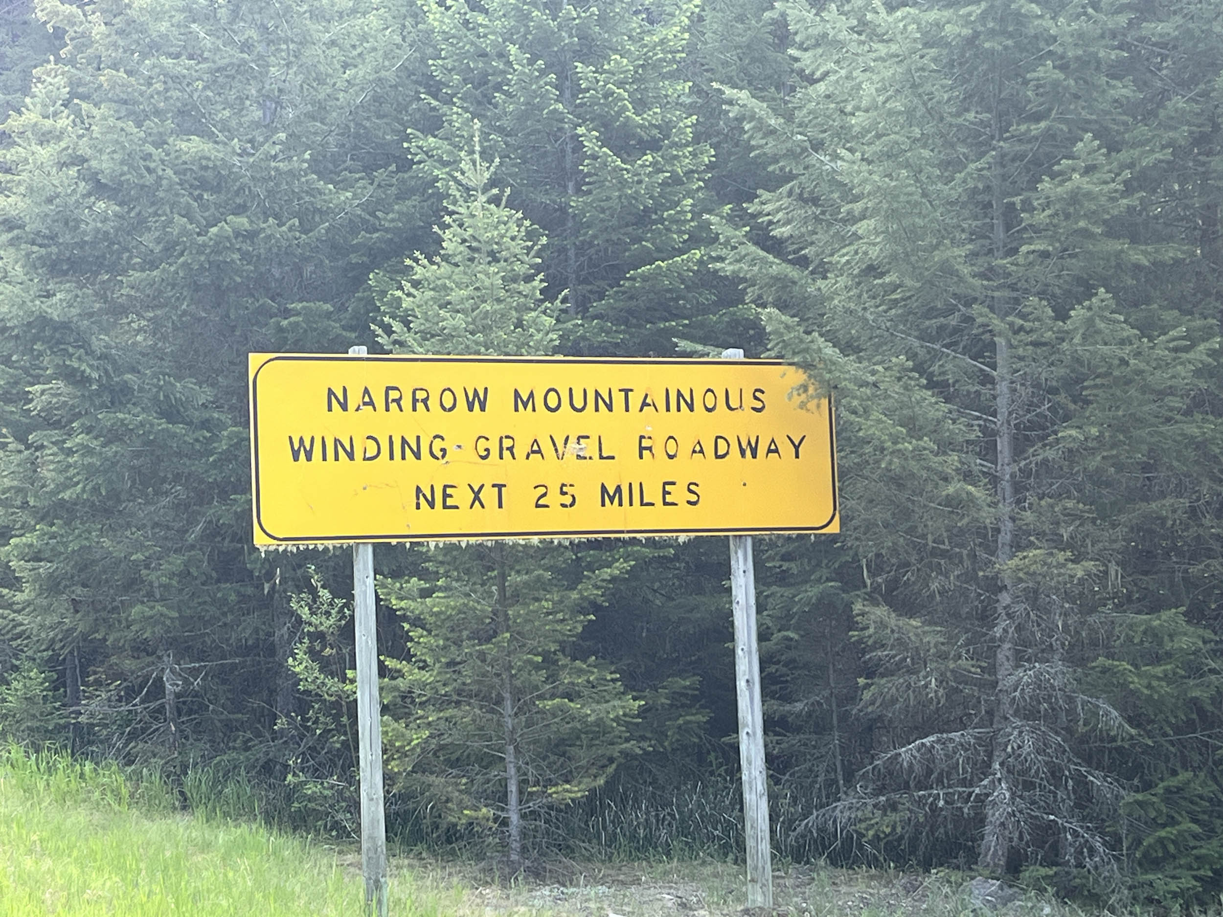
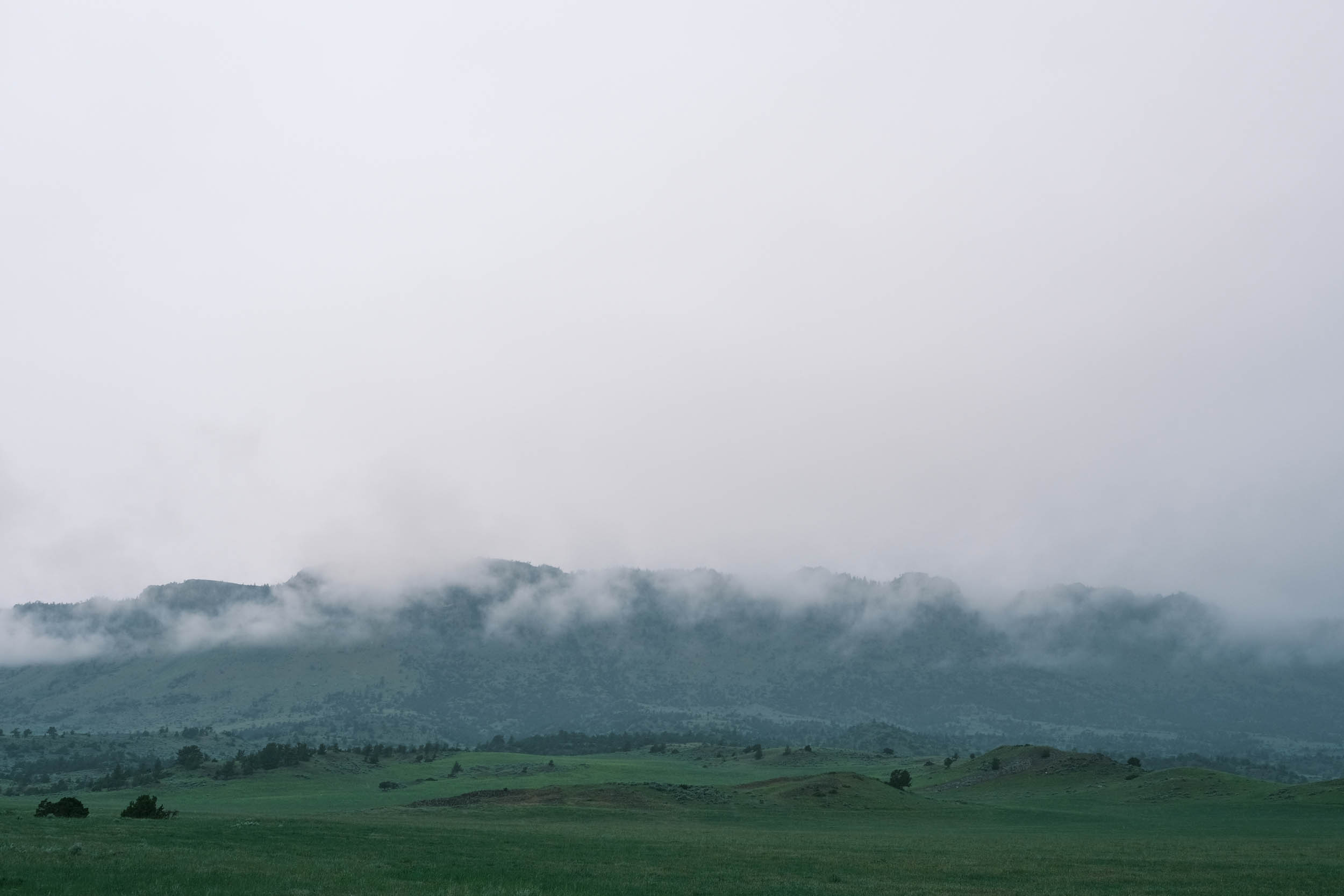
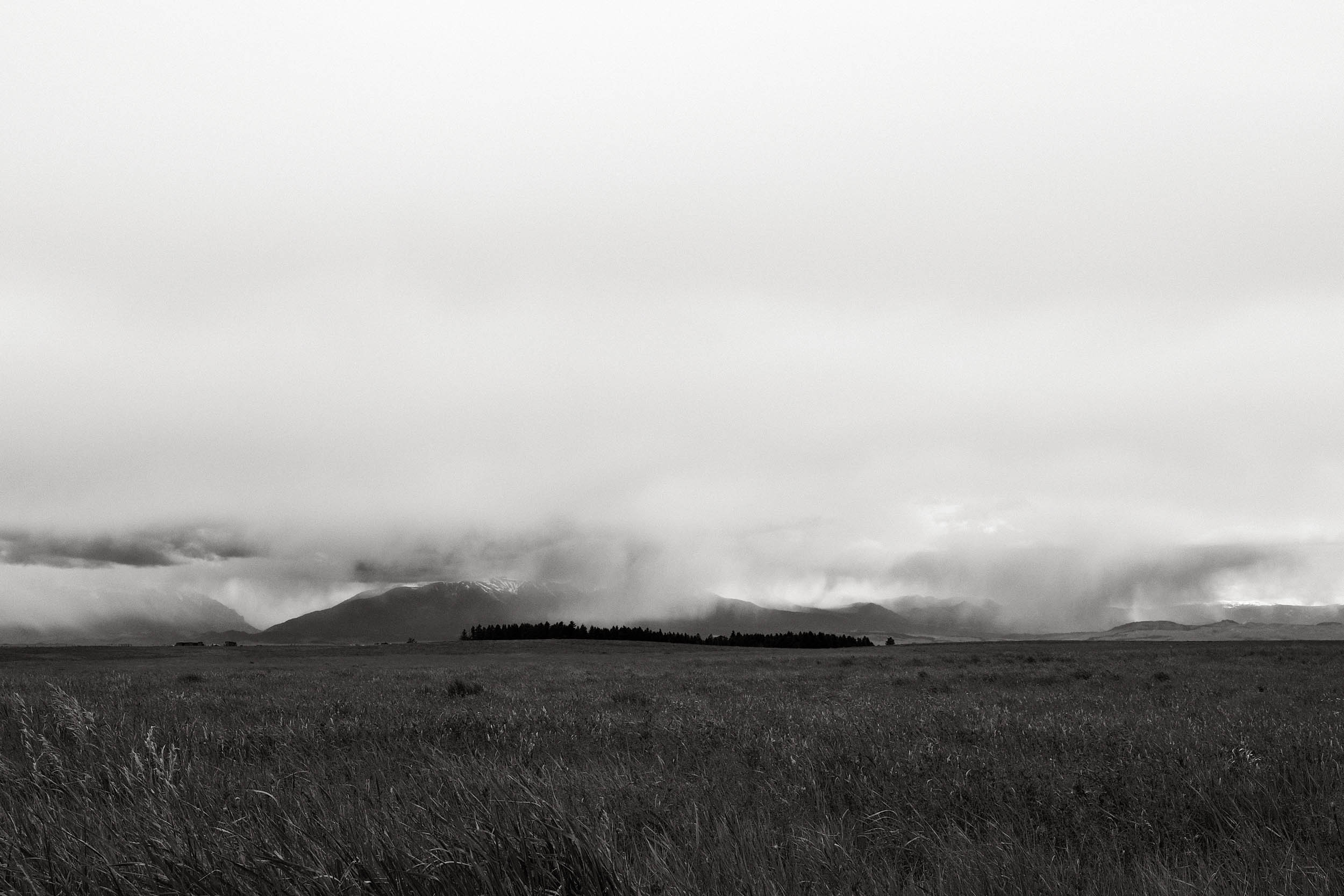
Overall, this segment is one of the more technical on the route. There are some rough gravel areas with long downhill sections that require significant concentration and technique. The segment is also long and requires a large number of days to complete. There are multiple long climbs over passes, some at higher altitudes, in very remote sections of Montana. Cold and hot weather can also increase the physical demand. Experience has shown that riders in Montana can start the day at 30 degrees Fahrenheit, and by afternoon, the temperatures are in the 90s. Snow can also occur, especially in May and June or early fall.
Resupply and logistics are mostly straightforward, as the route routinely goes through small towns and resupply points. There are sections where resupply is over 50 miles apart, so adequate planning is required. A spreadsheet with resupply, camping, and lodging locations is provided and has been very well received by previous riders.
One of the challenges, especially in Montana, is the ability to reroute due to weather, forest fires, and construction. Due to the length of the route, predicting these issues is nearly impossible, so having the skill to safely reroute yourself when the route is blocked is paramount.
There are long climbs (double-digit miles) in Montana as riders traverse the many ranges of the Rocky Mountains. The route passes over the Continental Divide east of Butte, where you may also intersect with riders heading south or north on the Great Divide Mountain Bike Route (GDMBR). The Salsa Cutthroat is a popular bike option for these riders.
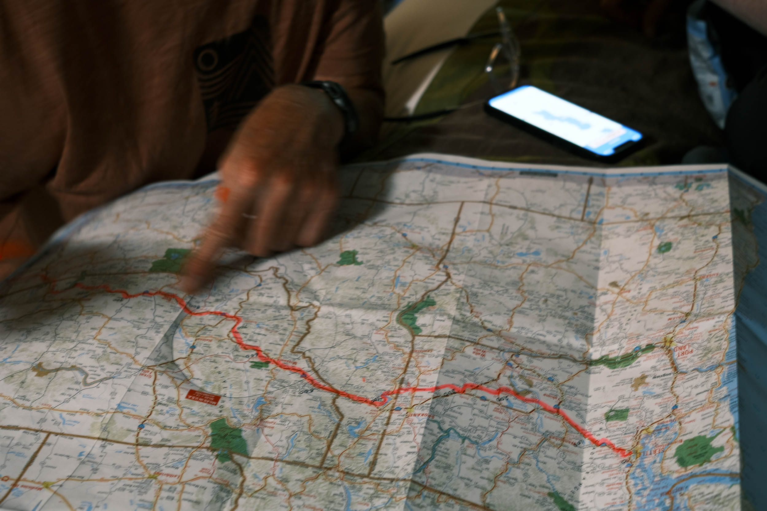
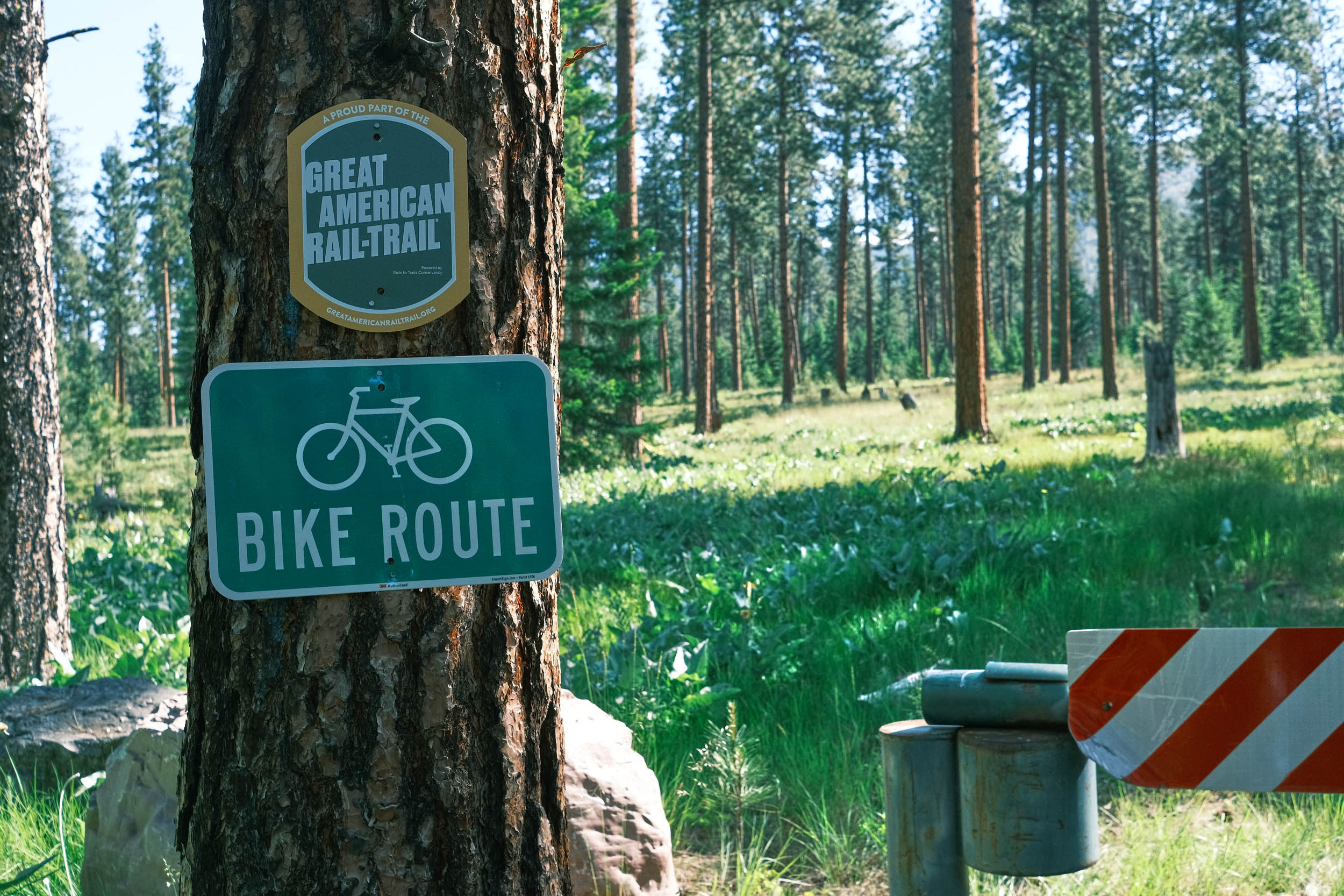
The Great American Wheel Route (GAWR) is an expansive 3,700-mile mixed-terrain bicycle route traversing the United States. Beginning at the Space Needle in Seattle and concluding at the Washington Monument in Washington, D.C., the GAWR guides riders across the country via an elaborate network of gravel roads and paths, paved trails, and low-traffic backroads, prioritizing separation from motorized vehicles. Find the full GAWR route here.
Route Development: The GAWR was finalized in 2024, with many people contributing to its creation and maintenance. It was inspired by and incorporates multiple segments of Rails to Trails Conservancy’s Great American Rail Trail (GART) route, linking them with dirt to create a more gravel-focused experience across the country. Find details at the main route page here.


Submit Route Alert
As the leading creator and publisher of bikepacking routes, BIKEPACKING.com endeavors to maintain, improve, and advocate for our growing network of bikepacking routes all over the world. As such, our editorial team, route creators, and Route Stewards serve as mediators for route improvements and opportunities for connectivity, conservation, and community growth around these routes. To facilitate these efforts, we rely on our Bikepacking Collective and the greater bikepacking community to call attention to critical issues and opportunities that are discovered while riding these routes. If you have a vital issue or opportunity regarding this route that pertains to one of the subjects below, please let us know:
Highlights
Must Know
Camping
Food/H2O
Trail Notes
Resources
- Riding across Idaho on the 73-mile-long Coeur d’Alene trail through wetlands, where wildlife is abundant. The odds of seeing a moose are very high on this section of the route.
- Learn about the Coeur d’Alene Tribe as you ride through parts of their reservation in Plummer, Idaho, and around Lake Coeur d’Alene.
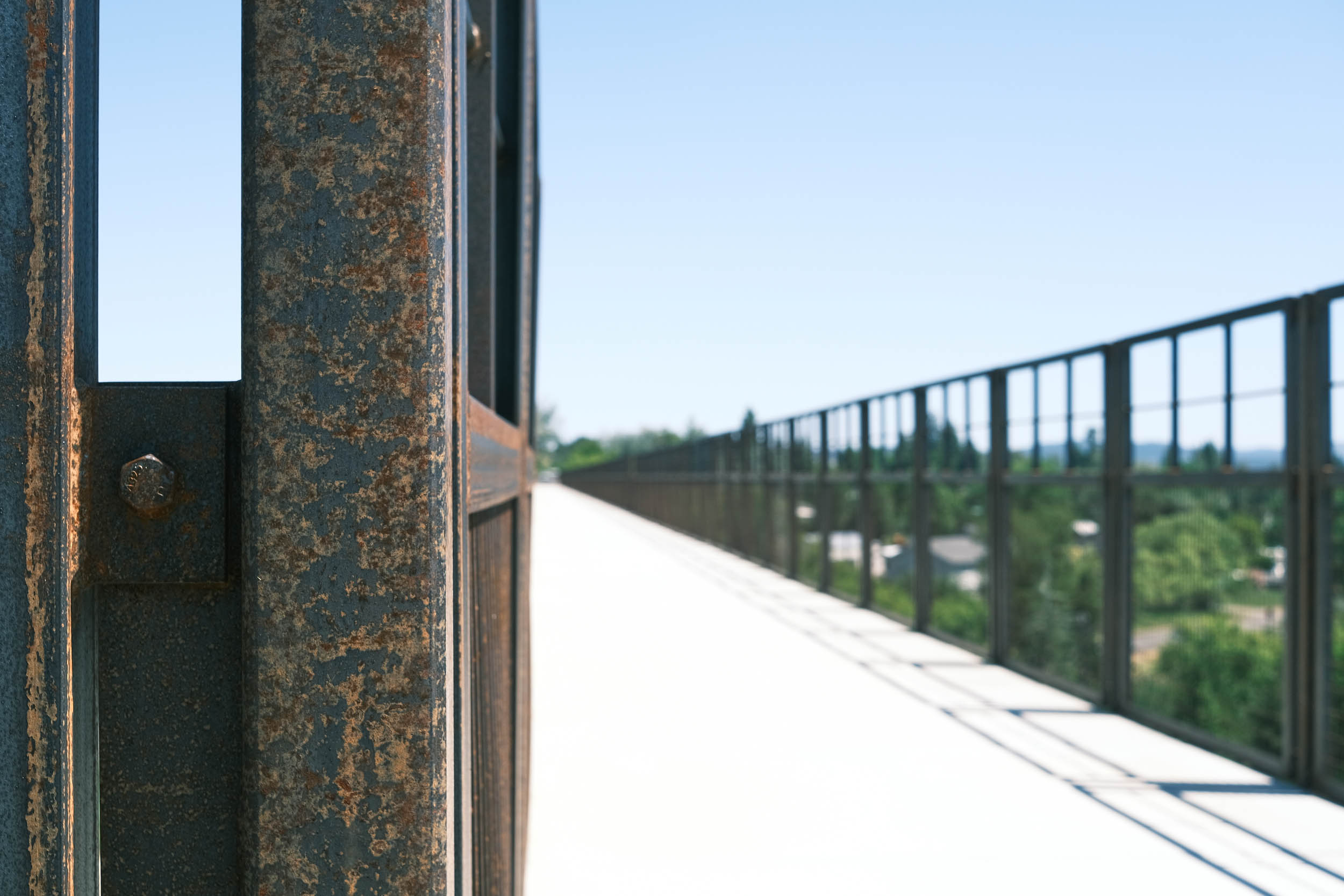
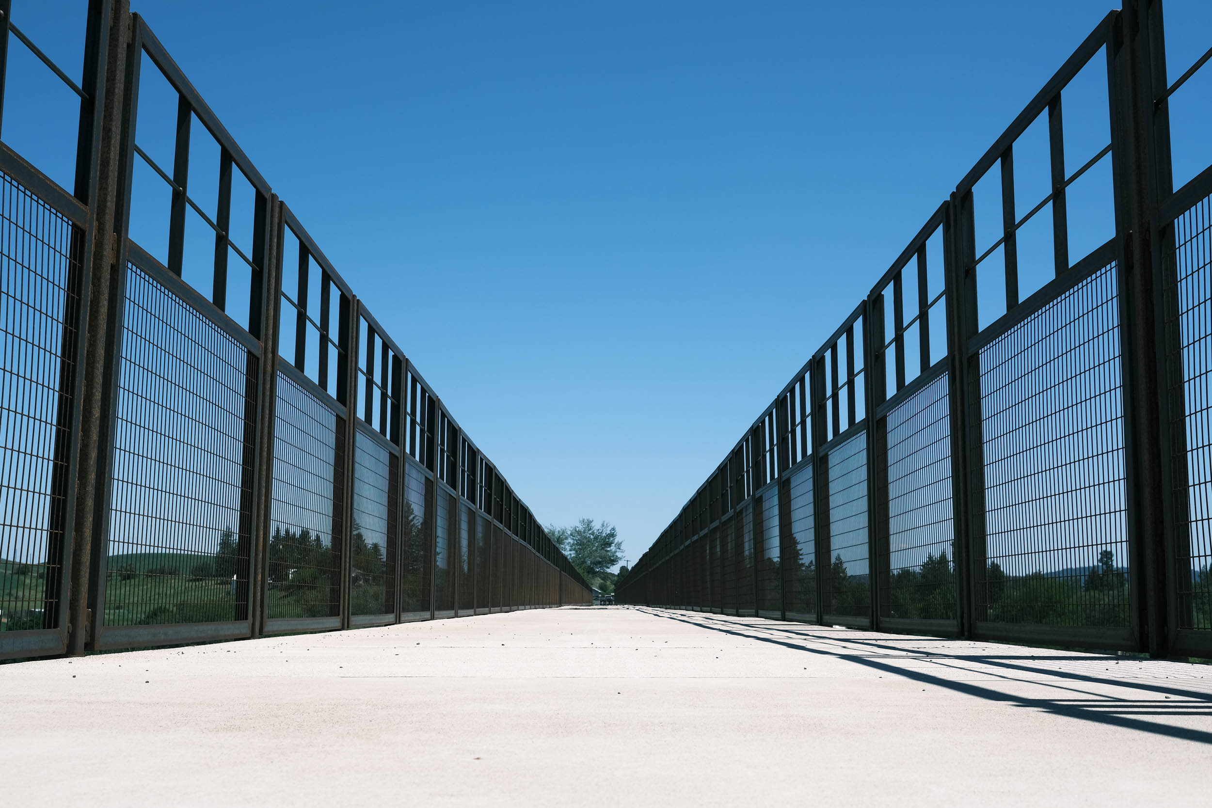
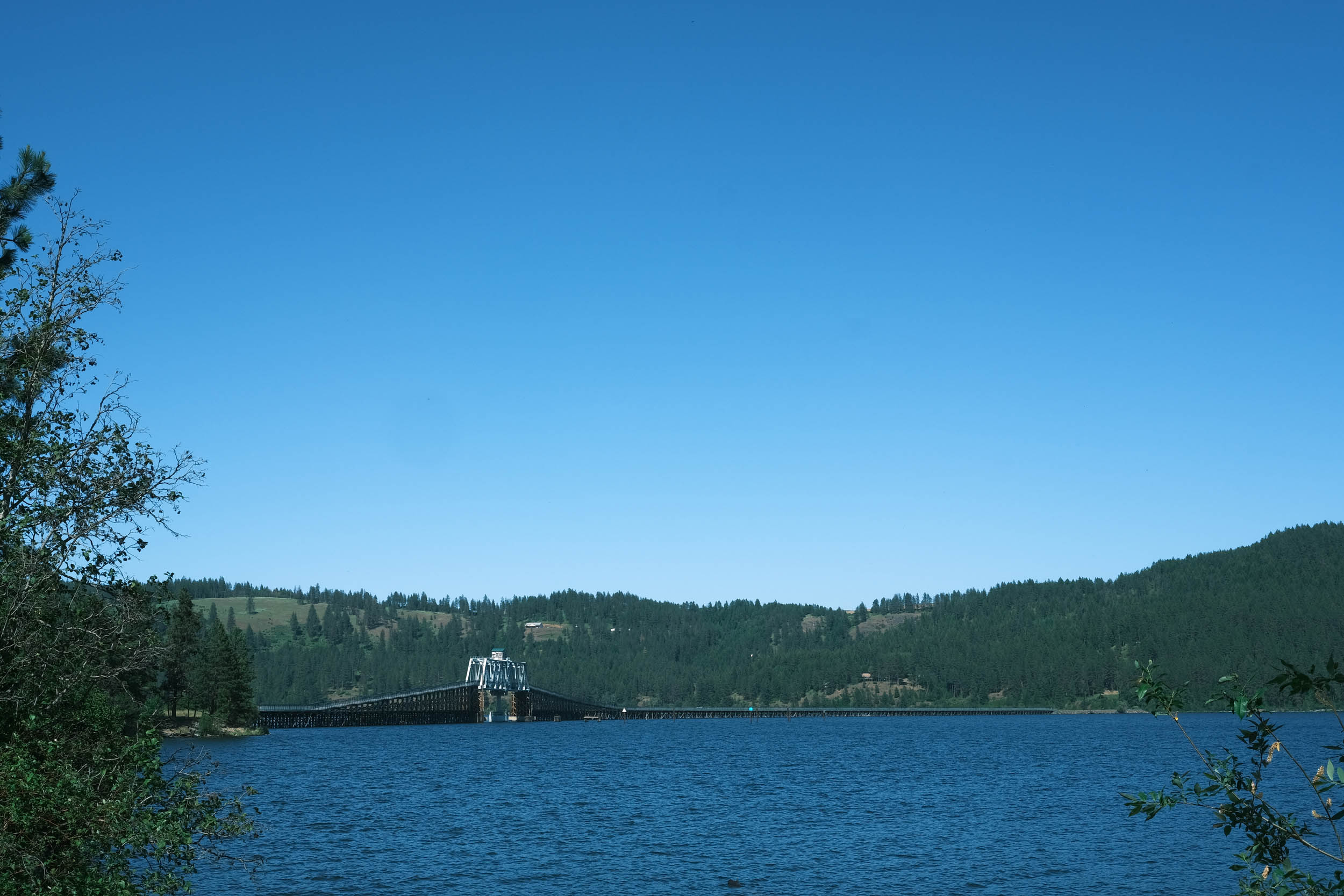
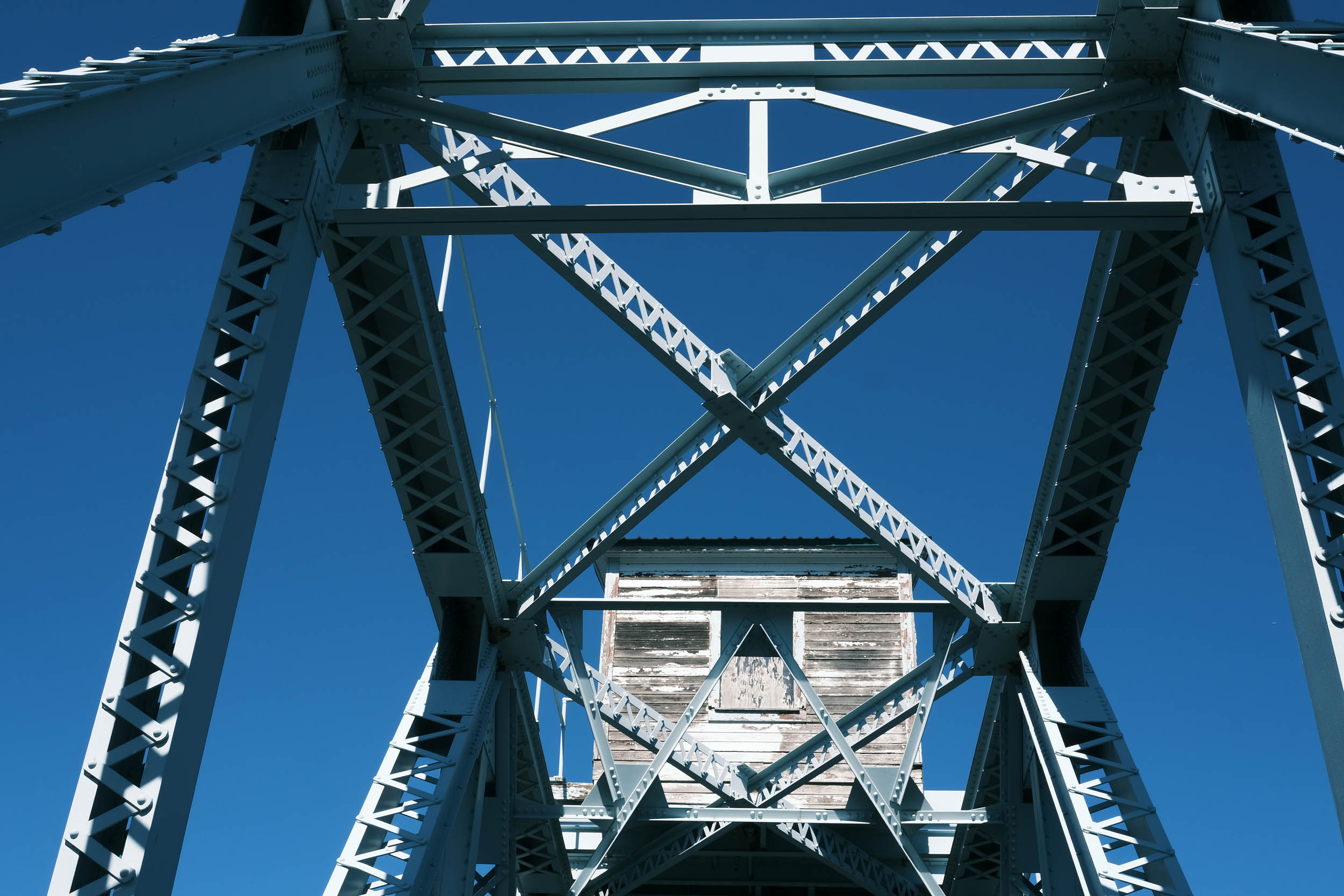
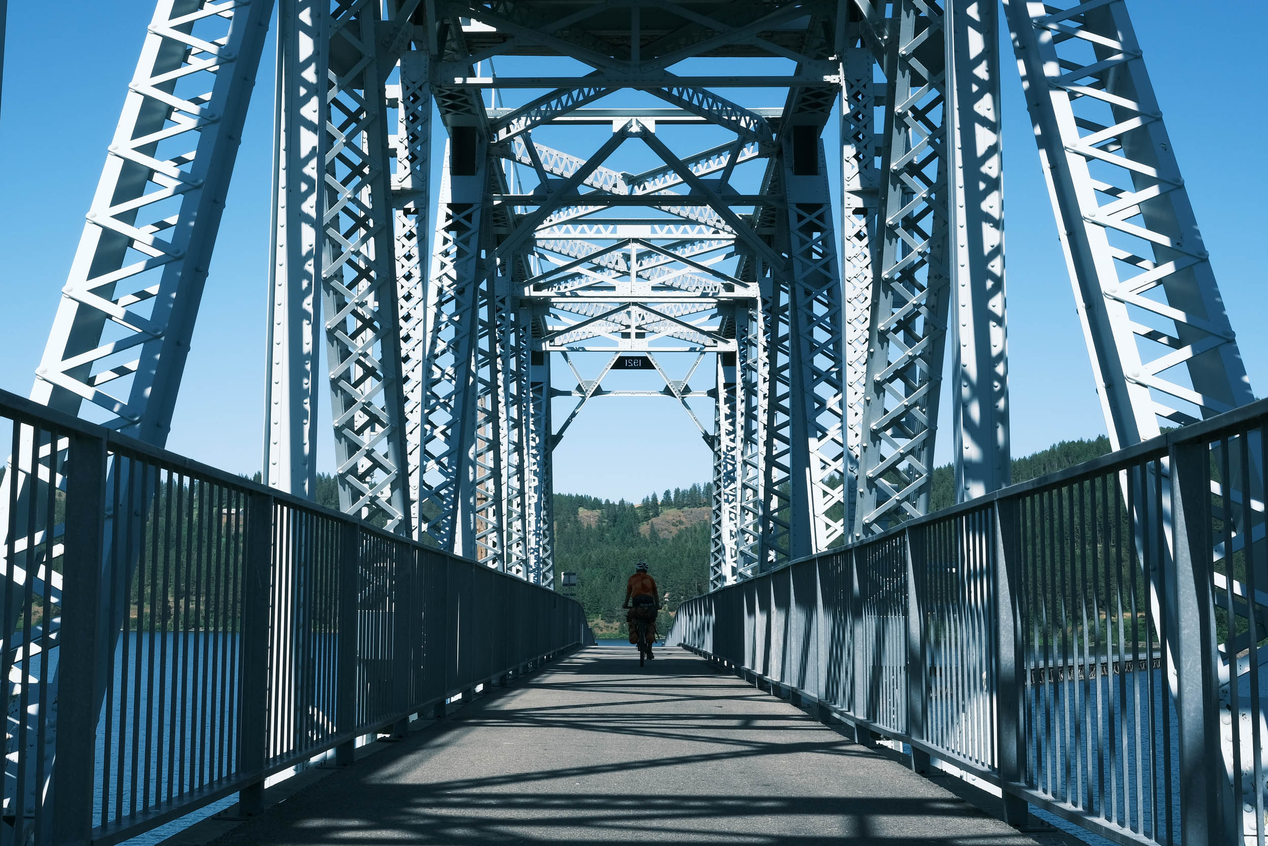
- Riding across the Chatcolet Bridge that spans Lake Coeur d’Alene near Heyburn State Park. It was originally a swing bridge for trains to cross the lake, but was later converted into a curved, elevated bike‑pedestrian span, preserving its historic structure while making it accessible for recreation.
- Exploring and learning about mining in the Silver Valley of Idaho, where over 1 billion ounces of silver have been removed from the earth.
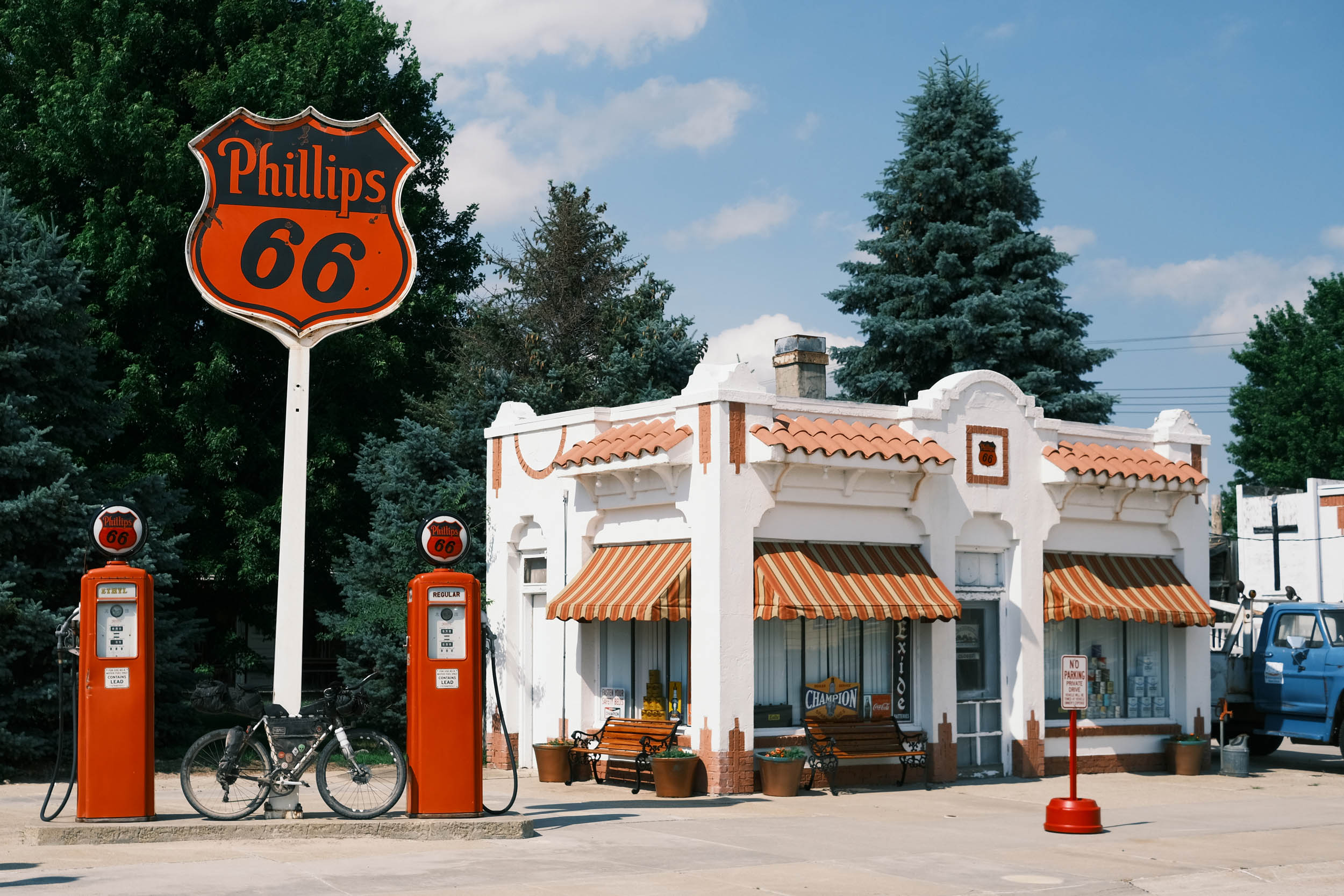
- Stop in Wallace, Idaho, and explore the old mining town that has transformed itself into a tourist destination.
- Take a side trip to ride the Route of the Hiawatha bike trail as it descends the rugged Bitterroot Mountains. It is considered one of the best and most scenic bike rides in the world.
- Climb to the top of Lookout Pass on the Northern Pacific trail entering Montana at the top. This is the first of several Rocky Mountain passes in this segment of the route.
- Drop into the beautiful St. Regis River Valley as you descend through the Bitterroot Mountain Range before following the Clark Fork River Valley on the way to Missoula, Montana. These rivers are wild and run through the valleys, providing ample opportunities for fishing, rafting, or just taking a plunge in the cold mountain water.
- Visiting Hamilton, Montana, a small, vibrant town on the foothills of the Bitterroot Mountain Range.
- Climbing 3,000 feet over 13 miles on the Skalkaho Highway while traversing straight over the Sapphire Mountain Range on a winding dirt road that finally reaches over 7,000 feet of elevation, the highest point on the GAWR.
- Passing by the majestic 150-foot-tall Skalkaho Falls right next to the road on the Skalkaho Highway.
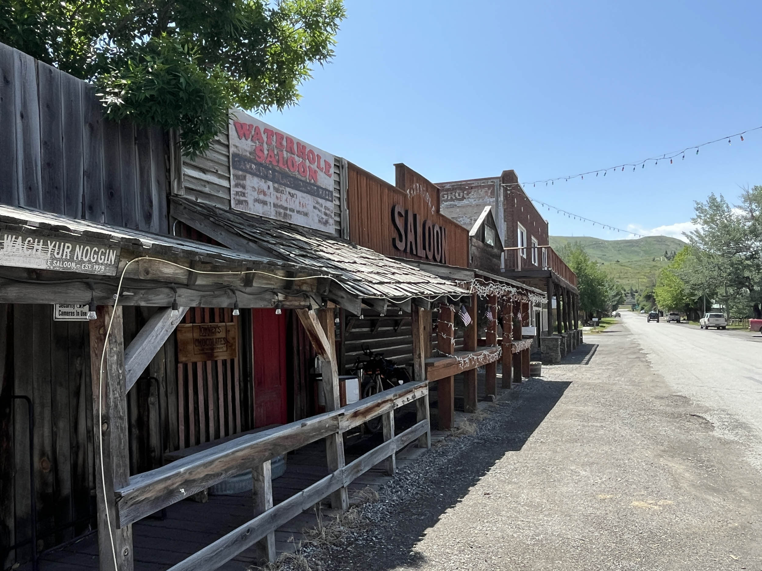
- Riding through the many small towns in Idaho and Montana – stop at Philipsburg, Montana, a quaint mountain town in the middle of nowhere that will bring you back to old Montana.
- See the giant Anaconda smokestack from miles away, once was the largest copper smelter in the world.
- Eat some excellent food in historic downtown Butte the largest National Historic Landmark District in the United States. The Irish bars and Italian restaurants are particularly good.
- Check out the Berkeley Copper Mining Pit in Butte, Montana. The now-defunct pit is a mile long and half a mile wide, reaching almost 1,800 feet in depth, and it can be seen from miles around.
- Pass over the Continental Divide at Pipestone Pass in the Highland Mountains. Immediately drop into the Jefferson River Valley, where the views are endless and surrounded by mountains.
- Learn about the Lewis and Clark Corps of Discovery and see how this route weaves its way along portions of the expedition. The route intersects with many Lewis and Clark historical sites.
- Marvel at the beauty of the Rocky Mountains, many still capped with snow, as you pass through the expansive river valleys surrounded by the multitude of mountain ranges that make up the Rockies.
When to go
- Summer to early fall – some of the passes in Montana and Idaho can still have snow in late May or early June.
Logistics
- There are no known permits required to ride this segment of the route.
- Airports, rental cars, and U-Haul are available at the major cities along or near this segment. They include Spokane, WA, Missoula, MT, and Billings, MT.
Dangers and Annoyances
- Dogs – dogs may be encountered anywhere along the route, especially in rural areas where owners don’t properly contain them. It is recommended that you carry pepper spray, an air horn, etc., to help deter them. Dogs have been encountered in rural Washington, Montana, Ohio, and West Virginia, but can be found anywhere.
- Grizzly bear territory – in Montana from approximately Missoula to Columbus. Be bear aware and understand how to carry and use bear spray, manage food, etc. Generally, black bears are not a safety issue except for food management during camping. Again, be bear aware.
- Ad-hoc route deviations – The ability and skill to reroute due to flooding, fires, weather, construction, etc., will enhance your ride and improve your odds of completing the adventure.
Travel basics
- Flights are readily available by multiple airlines into Missoula and Billings. Rental cars and U-Haul are also available in both cities.
- U.S. Visa requirements – U.S. Tourism & Visit Visa
What bike?
- Any comfortable endurance, gravel, adventure, touring type bike that can carry your gear and is durable. You will most likely experience mechanical issues due to the route’s length and gravel conditions. Know basic skills and be able to find a bike shop when necessary. You may have to rig a solution until you get to the shop.
- Tire size – 40mm to 2.2 inches with durable compounds and less aggressive tread patterns are recommended.
- Gearing – at least a 1:1 gear ratio between the crank and cassette for the lowest gear. Lower is better.
- Suspension – many riders have completed the route without any suspension components. Stem and seat suspensions may provide additional comfort depending on riders’ preferences. Knowing when and how to adjust your tire pressure for different riding conditions is probably more important than having suspension components.
- There are abundant National Forest campgrounds, dispersed camping, and established private campgrounds along this segment of the route, particularly after entering the Rocky Mountains in Idaho. Many prominent options are noted in the downloadable GPX file and the available services spreadsheet, but there are more.
- There aren’t any sections where wild camping is absolutely necessary as long as you can keep a good pace. There isn’t a significant stretch of this segment that is devoid of camping, given the extensive public lands the route passes through or is near. If wild camping is a must, we recommend setting up after dusk and leaving at dawn. Churches, parks, and other public places are usually safe options, but use your own judgment and leave no trace.
- There are ample opportunities to camp on public lands that include National Forest, Bureau of Land Management (BLM), and National Grass Lands. You will also legally ride on private land through public-accessible roads and paths. Understanding whether you are on public or private lands is imperative, especially while camping. Private land ownership is taken very seriously in the United States, so it is of most importance that you understand when you will or won’t trespass on private lands along the entire route.
- There are hotels/motels/lodging throughout this segment of the route with abundant options in the Silver Valley of Idaho, St. Regis, Missoula, Hamilton, Philipsburg, Butte, Three Forks, Bozeman, Livingston, and Columbus, Montana.
- There are consistent resupply options on this segment of the route, as noted in the POIs of the downloadable GPX file and the available services spreadsheet.
- Potable water and drinks are readily available at the many convenience stores and restaurants in the nicely spaced towns and cities throughout this segment of the route.
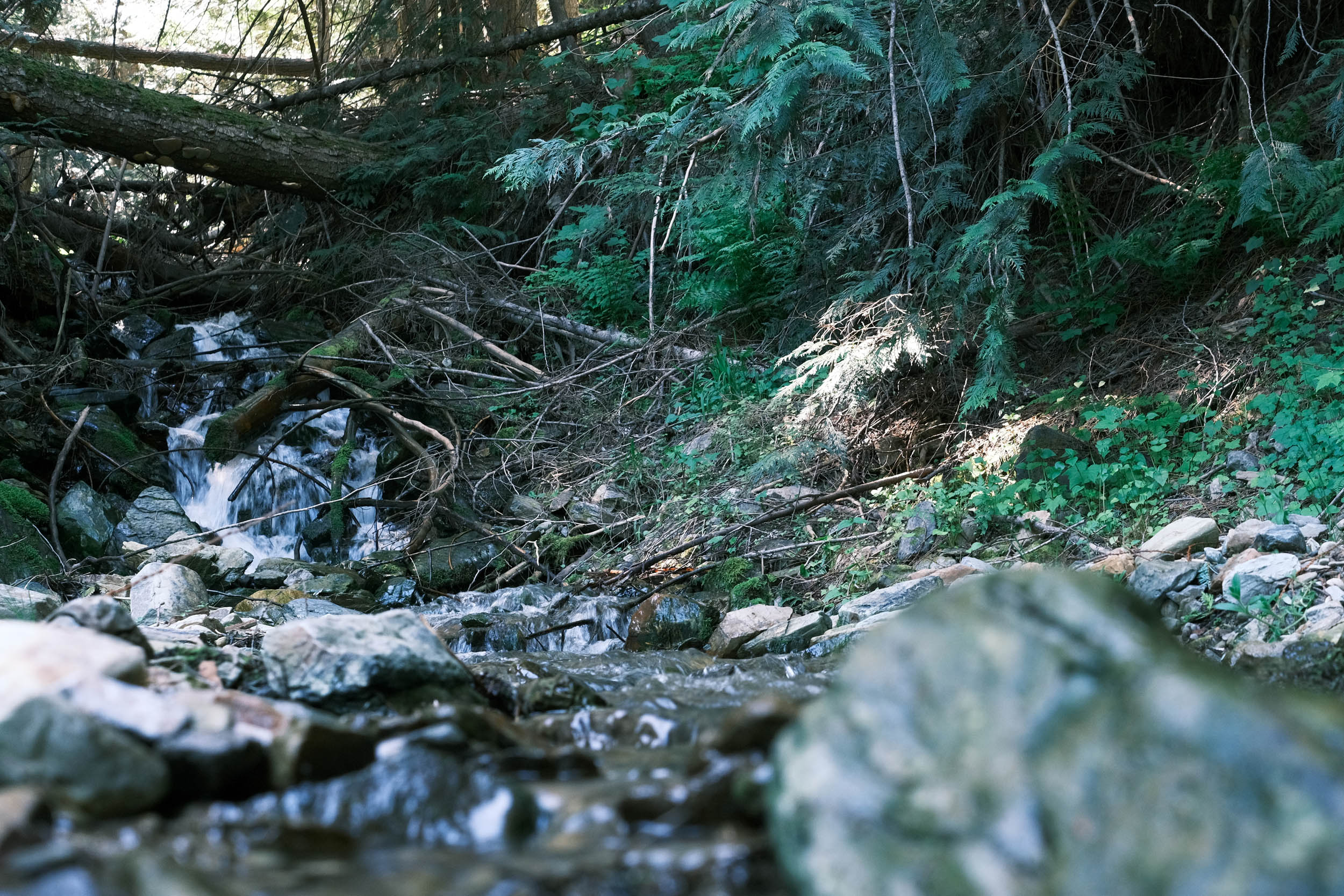
- Filterable water sources are commonly available throughout this segment, as it routinely follows rivers or streams. Note: Do not filter water out of the Coeur d’Alene river and its tributaries in the Silver Valley of Idaho from Coeur d’Alene lake to Lookout Pass in Montana due to runoff of the many mines in this area.
- Churches are a good source of drinking water as there are usually spigots available. Make sure to ask whether someone is on site.
- The longest stretch without resupply is between Hamilton and Philipsburg, Montana, approximately 65 miles, though filterable water sources are common. The approximately 35-mile stretch between Livingston and Big Timber, Montana, is without resupply but offers numerous filterable water sources.
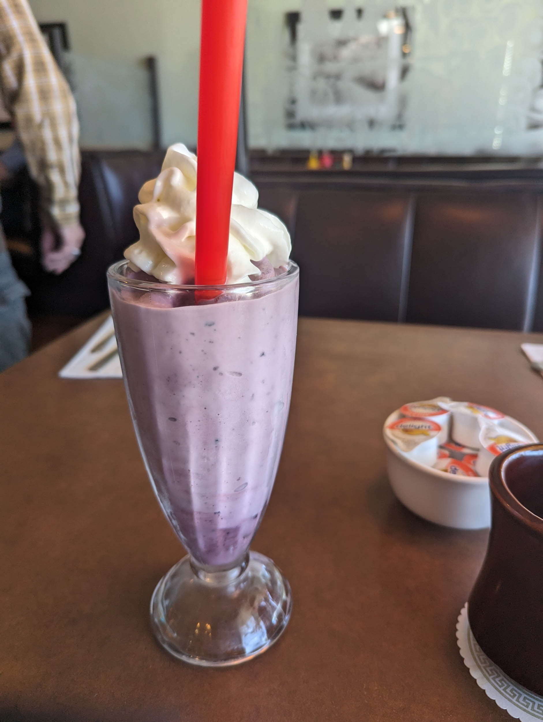
- There are a few recommended places for food and drink. West to east include, they clinde Lakeside Brew Pub in Harrison, ID; Old Montana Bar in Saltese, MT; sample a Huckleberry Shake at Winki’s Diner in St. Regis, MT; Grist Milling and Bakery Missoula, MT; buy a package of the best beef jerky ever at Hamilton Packing Inc. north of Hamilton, MT; Philipsburg Creamery Philipsburg, MT; Italian food at the La Cas Toscana and Irish food at Shawn O’Donnell’s in Butte, MT; Mountains Walking Brewery in Bozeman, MT.
Here’s an example itinerary based on 50–80 mile days. Some riders may prefer shorter days, and others might average longer distances, but this provides a solid baseline for a through-rider planning a reasonable bikepacking itinerary. This assumes you’re a fairly seasoned rider carrying a medium load.
location Plummer, ID to Kellogg, ID
Day 1 (54 mi +400 ft)
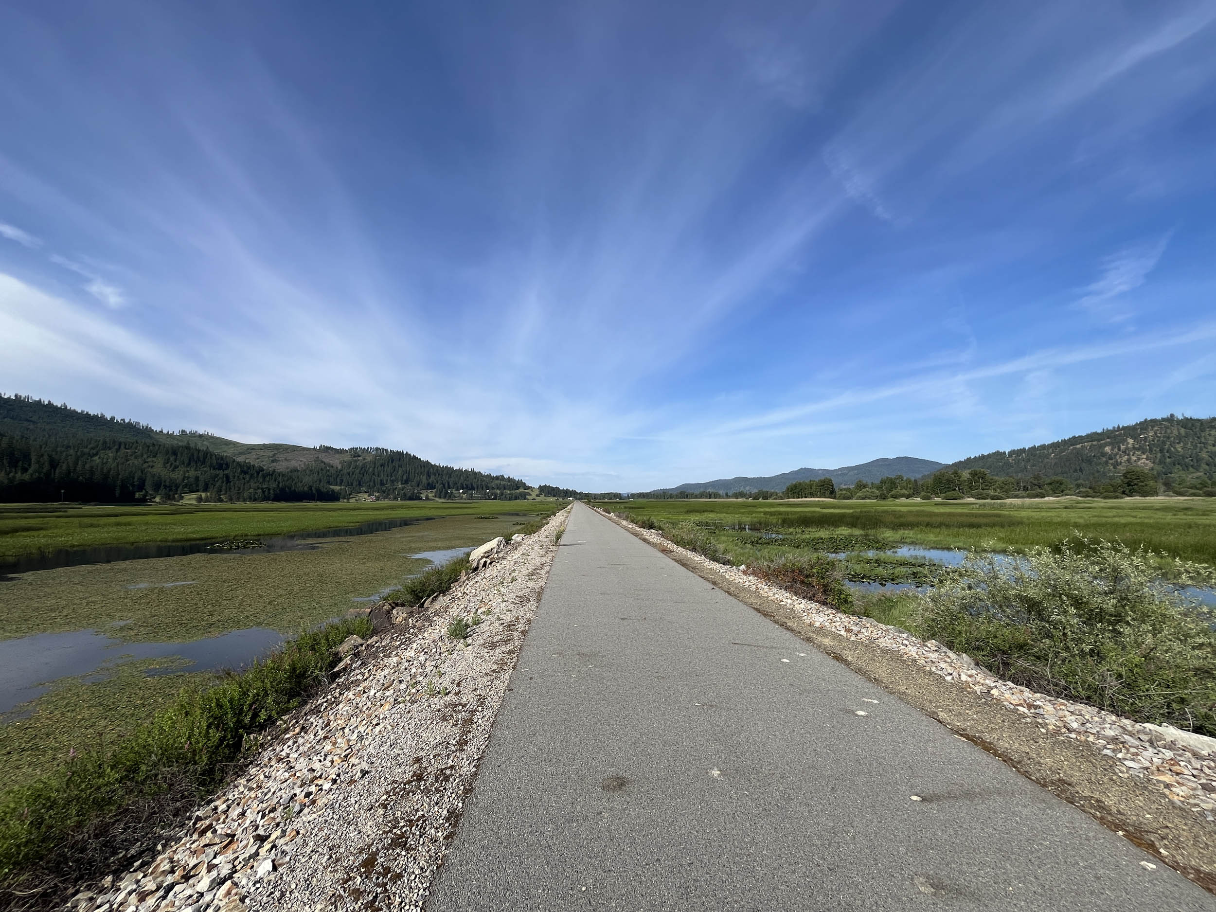
Leaving Plummer, take a moment to pause at the Trail of the Coeur d’Alenes trailhead to admire the Coeur d’Alenes Tribe’s veterans memorials and learn about their history. After leaving Plummer, an extended downhill leads to Coeur d’Alene Lake and one of the highlights of the day: crossing the lake on the Chatcolet Lake Bridge, also known as the Trail of the Coeur d’Alenes Bridge. Harrison arrives shortly after crossing the lake, where camping and lodging are available.
Expect one of the easiest riding days of the entire route, with the initial downhill followed by mostly flat pavement through scenic wetlands and wildlife-rich habitats where moose are commonly sighted. The final portion of the day follows the Coeur d’Alene River Valley on the approach to Kellogg.
location Kellogg, ID to St. Regis, MT
Day 2 (58 mi +3,000 ft)
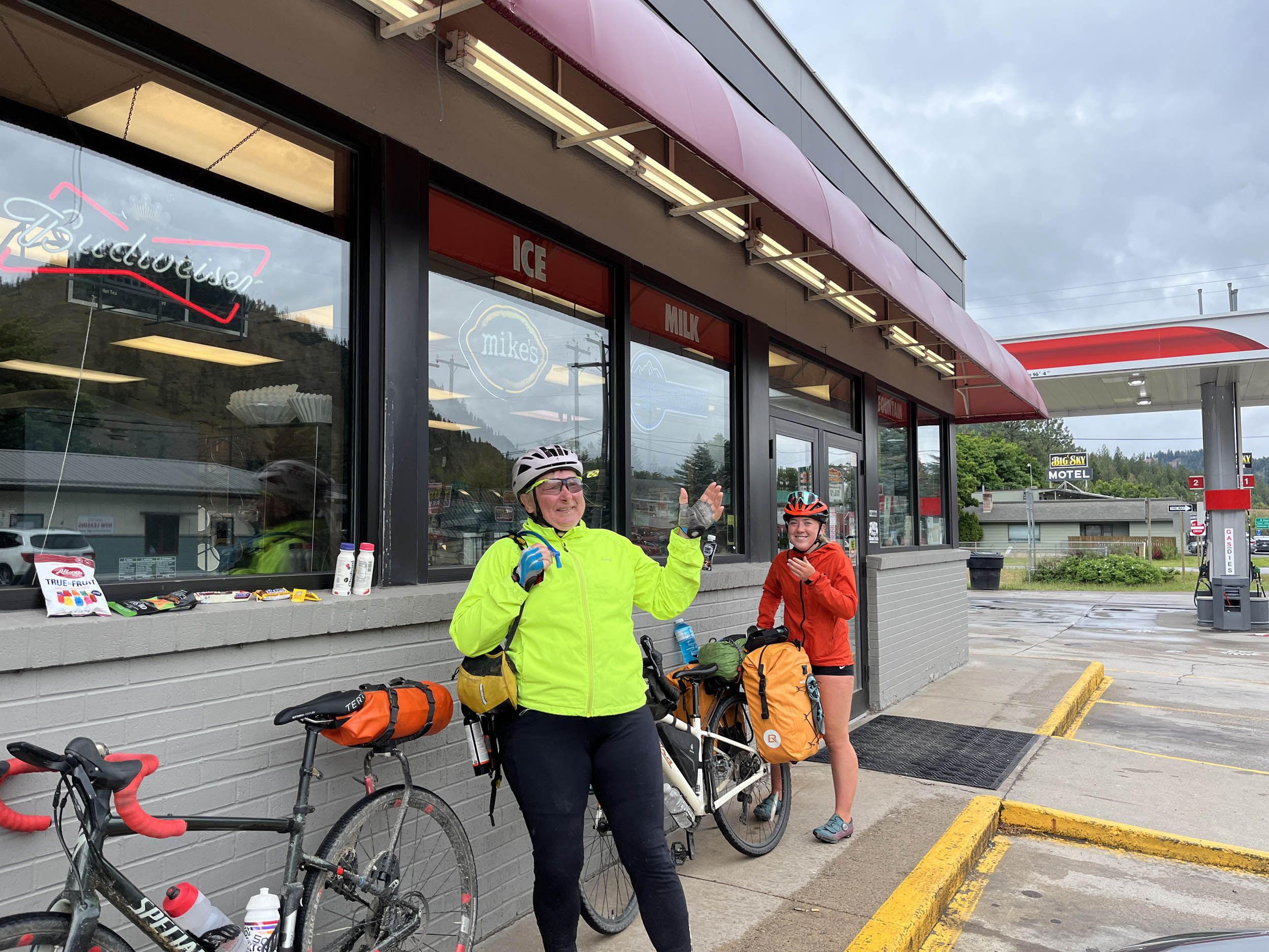
The initial miles of the ride remain relatively flat while passing through the Silver Valley, an area rich in mining history dating back to the 1880s. The valley produced over a billion ounces of silver and ranks among the world’s top mining districts. Today, it offers a blend of historical sites, outdoor recreation, and small-town charm. Wallace, ID, is a worthwhile stop for excellent restaurants and resupply.
Leaving the Trail of the Coeur d’Alenes at Mullan, the route joins the Northern Pacific Trail and begins the climb up Lookout Pass, the first major mountain pass of the route. At the summit, the route enters Montana. A side excursion to the Trail of the Hiawatha allows riders to check off one of the most highly rated and scenic bike trails in the world.
After cresting Lookout Pass, the route enters the heart of the Rocky Mountains and spends the remainder of the day descending through forested terrain and following the St. Regis River into the town of St. Regis.
location St. Regis, MT to Missoula, MT
Day 3 (75 mi +3,500 ft)
In St. Regis, the St. Regis River meets the Clark Fork River, which the route follows to Missoula. Small towns, backcountry roads, expansive mountain views, and frequent sightlines along the winding Clark Fork River dominate the day. Ample camping and resupply options are available along this stretch.
There is one short section of riding on I-90 at Cyr, where a large berm provides substantial separation from traffic. Do not attempt to use the old railroad right-of-way near the Cyr Bridge, as it is private property and aggressively protected by the landowner. This information comes from previous GAWR riders.
Missoula is one of Montana’s largest cities and offers lodging, camping, bike shops, and full resupply.
location Missoula, MT to Hamilton, MT
Day 4 (50 mi +1,400 ft)
Leaving Missoula, the route provides an easy day of riding on a paved bike path along Montana Highway 93 as it travels up the Bitterroot River Valley. Riders are treated to continuous views of the rugged Bitterroot Mountains and the flowing Bitterroot River. Resupply, food, lodging, and camping are readily available throughout the day, which ends in Hamilton—a lively town with an excellent selection of restaurants and a bike shop if needed.
location Hamilton, MT to Philipsburg, MT
Day 5 (68 mi +5,200 ft)
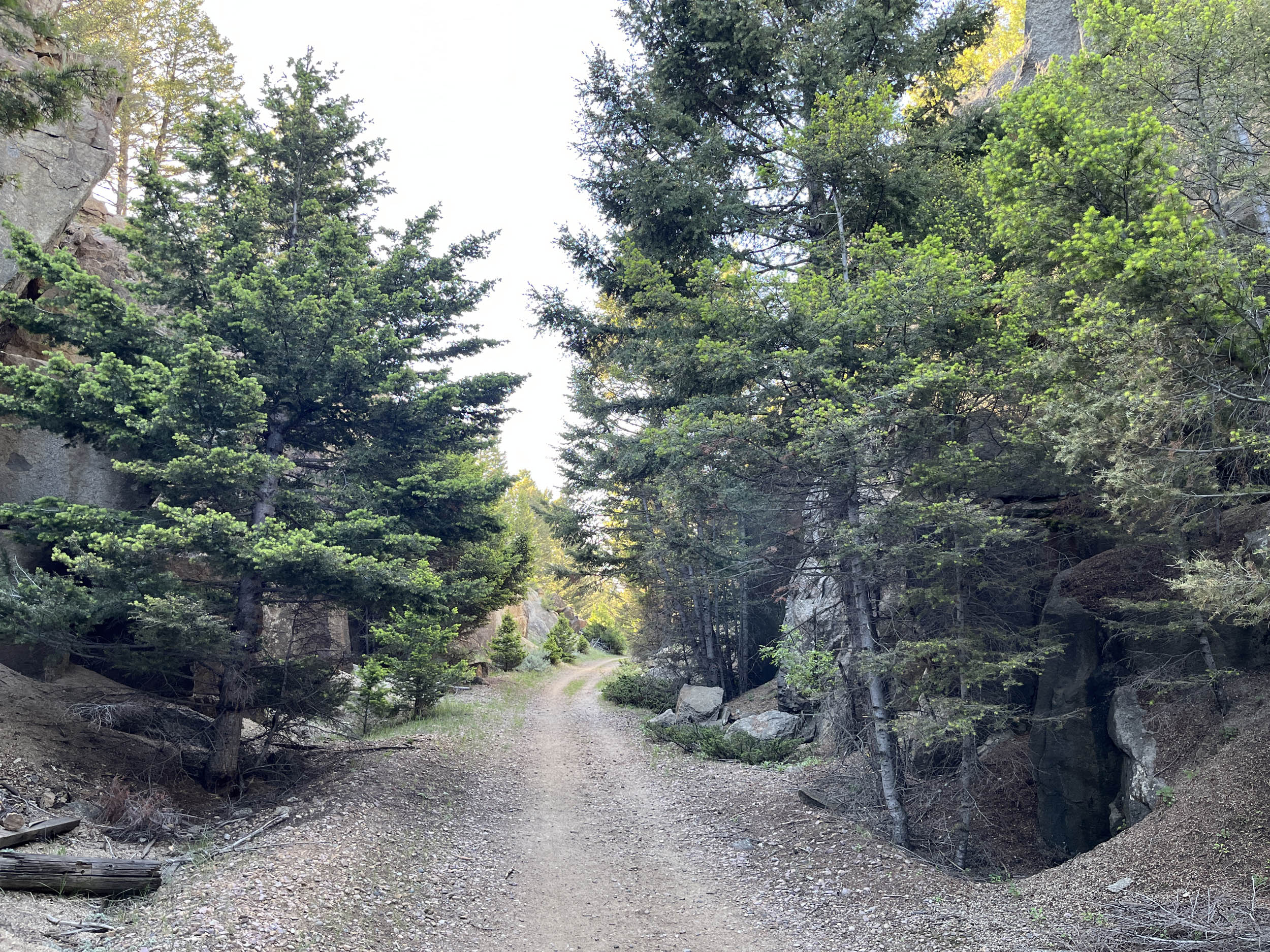
The easy days are over. This rugged section on Skalkaho Highway includes the most climbing of the entire route and offers no resupply, requiring careful planning and extra food. Filterable water is available, but there is no potable water along the route. Two major climbs over the Sapphire Mountains await, beginning with a 13+ mile ascent gaining over 3,000 feet. Grades remain mostly between 3–6% on a winding gravel road that passes the impressive 150-foot Skalkaho Falls before topping out at 7,300 feet—the highest elevation on the route.
The climb offers continuous views, with visible impacts from past forest fires. Regrowth is underway, and the lack of mature trees reveals the rugged texture, exposed rock, and steepness of the Sapphire Mountains. Black Bear National Forest Campground is located along the climb.
After the summit, a long descent follows, with over 15 miles where pedaling is optional. Crystal Creek Campground and dispersed camping options are available within the National Forest.
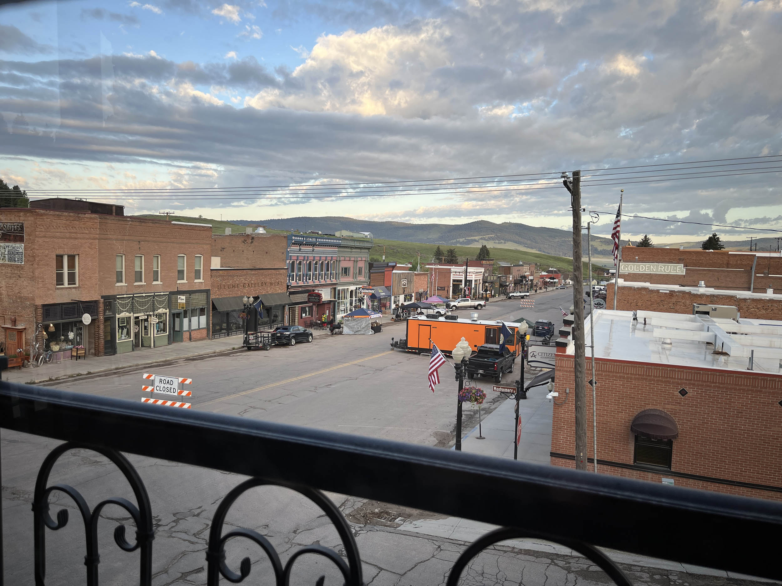
A final 4.5-mile climb closes out the day, featuring grades up to 10%, followed by a six-mile descent into Philipsburg. This charming old mining town offers full services and is a must-stop. Be sure to visit the Philipsburg Creamery to see the antique-style ice cream churns—and sample the ice cream.
Note: Skalkaho Highway typically opens in late May around Memorial Day and may remain closed into early June. It is closed during winter due to heavy snowfall. Check the Montana Department of Transportation conditions before leaving Missoula, as rerouting may be required.
location Philipsburg, MT to Deer Lodge, MT
Day 6 (50 mi +2,400 ft)
Leaving Philipsburg, the route follows Route 1—the Pintler Veterans Memorial Scenic Highway—through a mix of conifer-covered mountains and sagebrush hills while tracing Flint Creek. The route reaches Drummond, where resupply and lodging are available.
From Drummond, the route turns onto Old Stage Road and enters the foothills, offering some of the segment’s more rugged riding. Cattle ranching is common in this area, and lucky encounters with working cowboys offer a glimpse of the Old West. The route returns to civilization in Deer Lodge, where camping, lodging, and resupply are readily available.
location Deer Lodge, MT to Butte, MT
Day 7 (50 mi +1,500 ft)
Leaving Deer Lodge, the route generally parallels I-90 on adjacent frontage roads before passing near Anaconda, historically known for the largest copper smelter in the world, which operated until 1980. The massive smokestack remains visible from miles away.
Continuing along frontage roads, the route reaches Butte, where the Berkeley Pit—once a massive open-pit copper mine—dominates the landscape. The pit measures approximately one mile long, a half-mile wide, and nearly 1,800 feet deep.
Butte is a historic city known for its mining heritage and dramatic setting. It is home to the largest National Historic Landmark District in the United States, with more than 4,000 historic buildings. Full services are available, including bike shops, camping, lodging, and excellent restaurants, particularly in the historic district.
location Butte, MT to Three Forks, MT
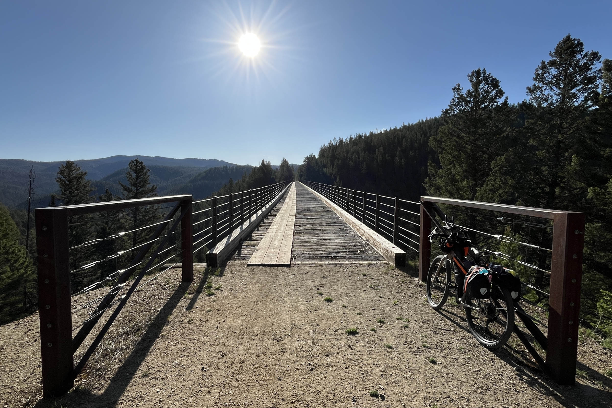
Day 8 (70 mi +2,400 ft)
Leaving Butte, the route immediately climbs over the Highland Mountains. After initial climbing, it transitions onto a remote rail trail that significantly reduces grades as it approaches Pipestone Pass. The trail passes through two tunnels and crosses a high trestle bridge, offering expansive views. This rail trail is the final segment of the abandoned Milwaukee Road railroad, one of its many former rail corridors used in the western part of the GAWR, beginning with Washington’s Palouse to Cascades Trail.
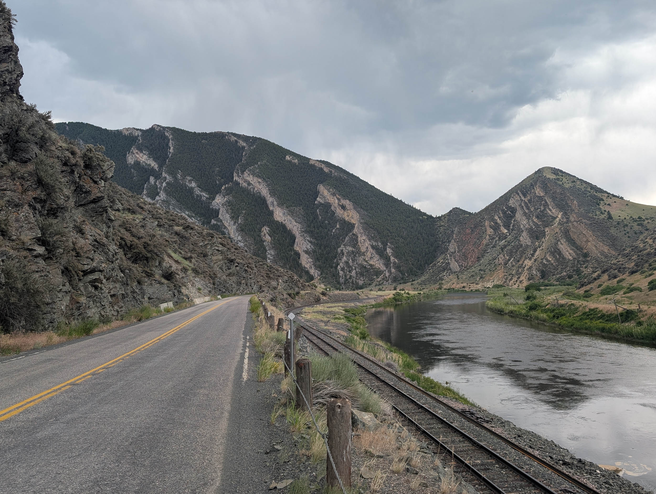
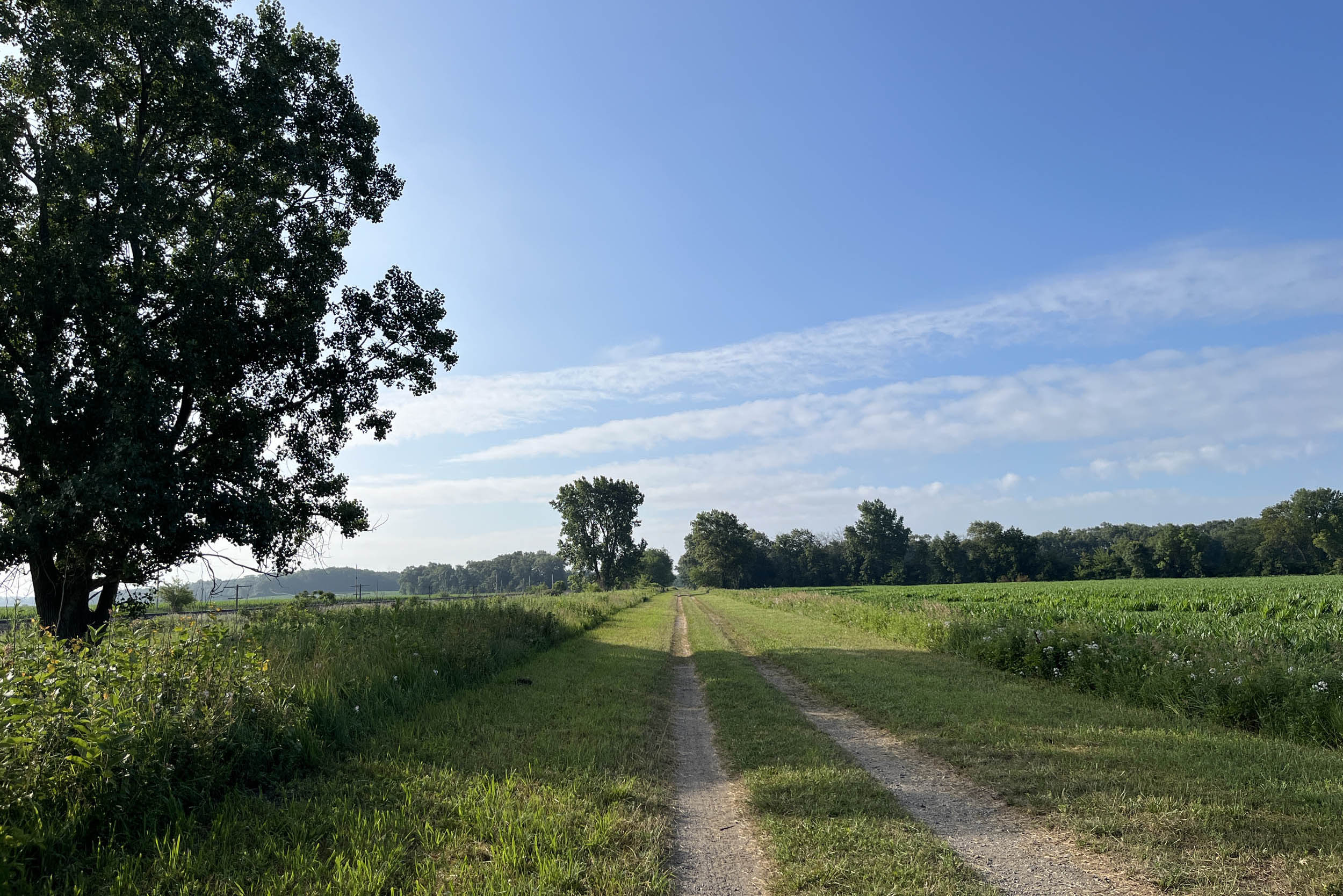
At the end of the rail trail, the route crosses the Continental Divide at Pipestone Pass before beginning a long, fast descent into the Jefferson River Valley. Endless gravel roads roll through a remote landscape surrounded by mountains, with frequent wildlife sightings including antelope, sandhill cranes, turkeys, deer, and long-billed curlews.
The day finishes by following the Jefferson River past Lewis and Clark Caverns State Park, where camping is available, and continues to Three Forks, where lodging, camping, and resupply are nearby.
location Three Forks, MT to Livingston, MT
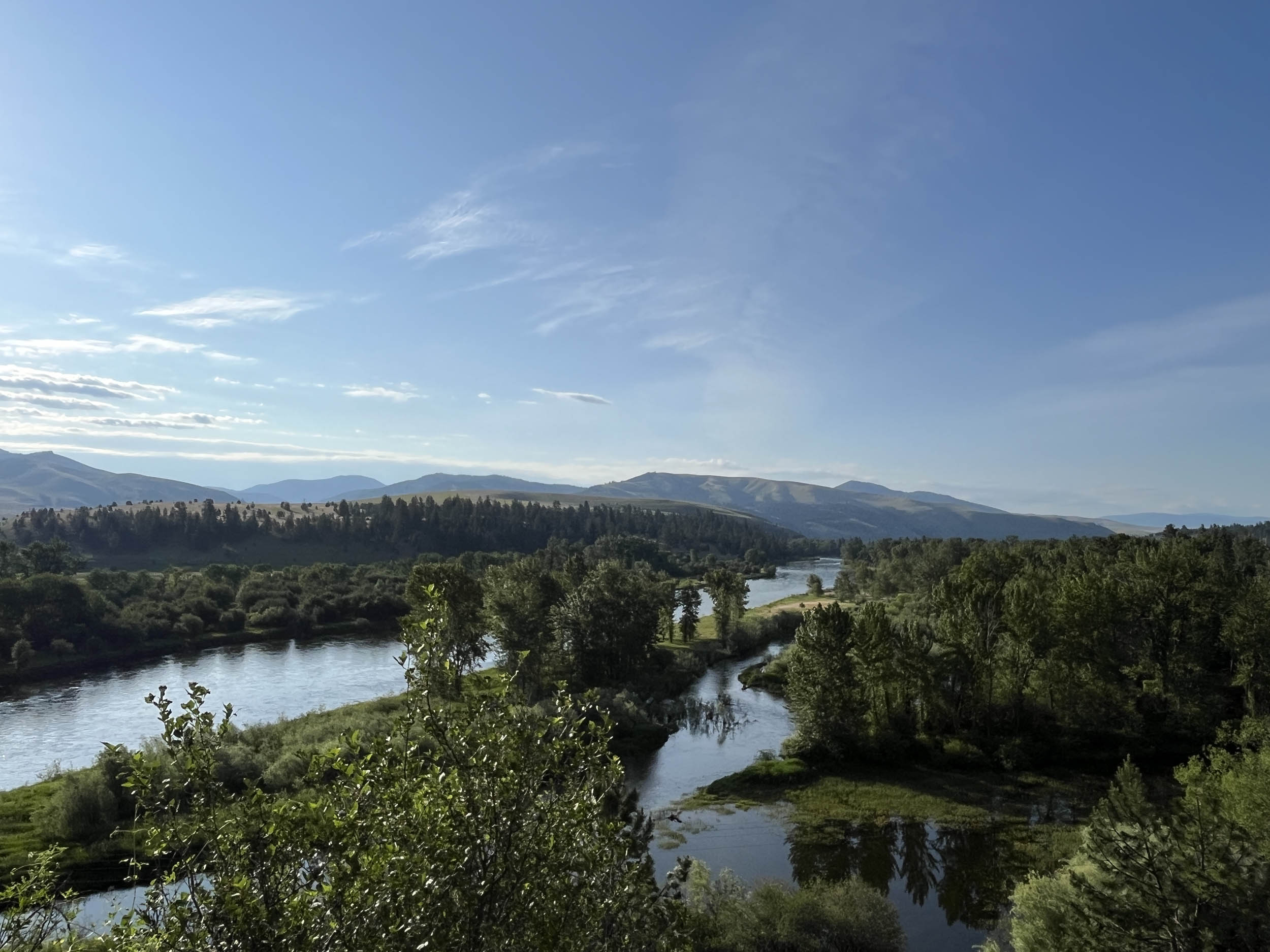
Day 9 (74 mi +3,200 ft)
Three Forks marks the confluence of the Jefferson, Madison, and Gallatin rivers, forming the Missouri River. The route follows the Gallatin River toward Bozeman, another of Montana’s larger cities. Bike paths and lanes lead directly into downtown, providing access to bike shops, cafes, grocery stores, breweries, convenience stores, and lodging.
East of Bozeman, the route passes expansive mountain ranches before cresting Bozeman Pass. Much of the riding intersects with the route Lewis and Clark followed, crossing historic watersheds and passing interpretive sites. After traversing the Bridger Mountains and Pass, the route descends into the Yellowstone River Basin at Livingston.
location Livingston, MT to Columbus, MT
Day 10 (86 mi +3,300 ft)
Leaving Livingston, the route generally follows the Yellowstone River, with the Crazy Mountains to the north and the Absaroka Mountains to the south. This day features long stretches of gravel roads and substantial downhill riding. One of the steepest climbs of the entire route occurs outside of Reed Point, with sustained double-digit grades. Some gravel sections are particularly chunky, making lower tire pressure a good idea.
Columbus offers lodging, camping, resupply, and restaurants.
- Here is a comprehensive list of lodging and resupply locations along the entire route. There is also a tab for specific information on individual rail trail segments.
- Visit the Great American Wheel Adventure Facebook page to connect to other riders and racers.


Terms of Use: As with each bikepacking route guide published on BIKEPACKING.com, should you choose to cycle this route, do so at your own risk. Prior to setting out check current local weather, conditions, and land/road closures. While riding, obey all public and private land use restrictions and rules, carry proper safety and navigational equipment, and of course, follow the #leavenotrace guidelines. The information found herein is simply a planning resource to be used as a point of inspiration in conjunction with your own due-diligence. In spite of the fact that this route, associated GPS track (GPX and maps), and all route guidelines were prepared under diligent research by the specified contributor and/or contributors, the accuracy of such and judgement of the author is not guaranteed. BIKEPACKING.com LLC, its partners, associates, and contributors are in no way liable for personal injury, damage to personal property, or any other such situation that might happen to individual riders cycling or following this route.
Further Riding and Reading
Here are some connected/nearby routes and related reports...


Please keep the conversation civil, constructive, and inclusive, or your comment will be removed.